How End
Coordinates: 52°03′32″N 0°29′32″W / 52.05893°N 0.49215°W
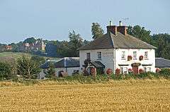
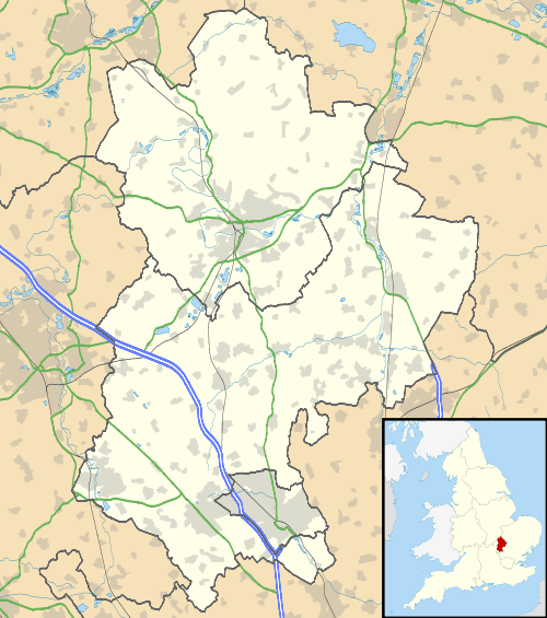
How End is a hamlet located in the Central Bedfordshire district of Bedfordshire, England.
The settlement is close to the larger villages of Stewartby and Houghton Conquest. How End forms part of the Houghton Conquest civil parish (where the 2011 Census population was included).
This article is issued from Wikipedia - version of the 11/9/2016. The text is available under the Creative Commons Attribution/Share Alike but additional terms may apply for the media files.