Slip End
| Slip End | |
 Slip End village centre |
|
 Slip End |
|
| Population | 1,976 (2001) 1,831 (2011 Census)[1] |
|---|---|
| OS grid reference | TL080461 |
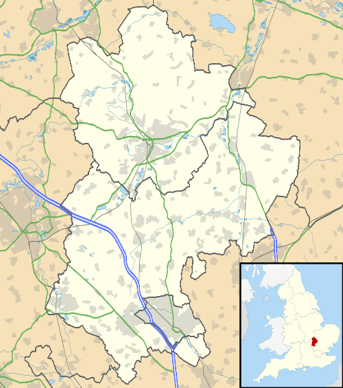
| Civil parish | Slip End |
| Unitary authority | Central Bedfordshire |
| Ceremonial county | Bedfordshire |
| Region | East |
| Country | England |
| Sovereign state | United Kingdom |
| Post town | LUTON |
| Postcode district | LU1 |
| Dialling code | 01582 |
| Police | Bedfordshire |
| Fire | Bedfordshire and Luton |
| Ambulance | East of England |
| EU Parliament | East of England |
| UK Parliament | Luton South |
|
|
Coordinates: 51°51′14″N 0°25′52″W / 51.85402°N 0.43104°W
Slip End is a village and civil parish in Luton, Bedfordshire. As well as the village of Slip End, the parish contains the hamlets of Lower Woodside, Woodside and Pepperstock. It has a population of 1,976,[2] reducing to 1,831 at the 2011 Census.[1]
The name of Slip End possibly has a connection with brickworks. Slip is an old English word for clay and End is a common part of place names in Bedfordshire and not unknown in other counties. End refers to small settlements outside larger villages. It is, therefore, possible that Slip End was named in the early 19th century because of the small number of houses built near the new brickworks in an area not previously developed with the older settlements of Woodside and Pepperstock to either side. Nearby Markyate has a Slype Lane which may or not be connected.
History
The school in Slip End was located towards the Pepperstock end of Front Street and Summer Street, and is now the site of a small development of flats and houses called Old School Walk. It was a board school established as after the Education Act 1870 providing education to all.
The school catered for the whole age range in two sections – juniors and infants – and in 1947 it was extended to 15‑year‑olds. A century after its foundation, the school moved to its present site on Rossway which previously had been clay pits for local brick production. The school is now a lower school, part of the three-tier education system in Central Bedfordshire, and caters for ages 3½ to 9 years.
The parish was created in 2001 by splitting that of Caddington and Slip End.
The M1 motorway runs adjacent to the village and was officially inaugurated from Slip End. This is celebrated by a large concrete slab on the bridge next to the village with the inscription:[3]
LONDON-YORKSHIRE MOTORWAY
THIS SLAB WAS SEALED BY THE
Rt Hon HAROLD WATKINSON M.P.
MINISTER OF TRANSPORT
INAUGURATION DAY
24th MARCH 1958
Local amenities
The village hall, built circa 1901, is situated at the heart of the community with parking for 40 cars and an entertainment licence for 100 for dancing or up to 200 for a meeting.
The Peter Edwards Hall and Playing Fields are situated at the Luton end of the village, next to the church. Facilities include tennis courts and a football pitch.
There are two pubs in the village, "The Rising Sun" on Front Street and the "Frog and Rhubarb" on Church Road.
References
- 1 2 "Civil Parish population 2011". Neighbourhood Statistics. Office for National Statistics. Retrieved 10 November 2016.
- ↑ Office for National Statistics: Census 2001: Parish Headcounts: South Bedfordshire Retrieved 31 October 2010
- ↑ Image of slab
External links
| Wikimedia Commons has media related to Slip End. |
- Slip End Village website and discussion forum
- Slip End pages at the Bedfordshire and Luton Archives and Records Service