Southill, Bedfordshire
| Southill | |
.jpg) All Saints parish church |
|
 Southill |
|
| Population | 1,141 (2001) 1,192 (2011 Census including Broom , Ireland and Stanford)[1] |
|---|---|
| OS grid reference | TL1542 |
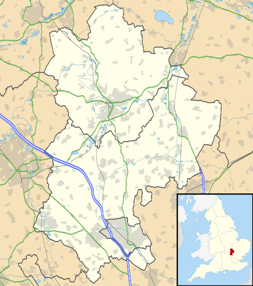
| Civil parish | Southill |
| Unitary authority | Central Bedfordshire |
| Ceremonial county | Bedfordshire |
| Region | East |
| Country | England |
| Sovereign state | United Kingdom |
| Post town | Biggleswade |
| Postcode district | SG18 |
| Dialling code | 01462 |
| Police | Bedfordshire |
| Fire | Bedfordshire and Luton |
| Ambulance | East of England |
| EU Parliament | East of England |
| UK Parliament | Mid Bedfordshire |
|
|
Coordinates: 52°03′50″N 0°19′44″W / 52.063821°N 0.328790°W
Southill is a village and civil parish in Bedfordshire, England, about 5 miles (8 km) from Biggleswade.
The principal residence, Southill Park, was formerly the home of the Viscounts Torrington, but was bought at the end of the 18th century by Samuel Whitbread.
Sir John Byng is buried in All Saints Church.
History
Southill is part of the ancient hundred of Wixamtree.
In 1805, the village was described as follows: "SOUTH HILL, or SOUTHILL, (Bedf.) village distance from Shefford 2 miles North which gives title of baron to Viscount Torrington, whose family seat is here. On a monument in the church is an inscription to the memory of the Hon. John Byng, Vice Admiral of the Blue, who fell a martyr to political persecution, March 14, 1757. Near it is Wardon, or De Sartes abbey, founded by Walter Espec, in 1135, for Cistercian monks."[2]
In 1914, the village was described as follows: "Southill, parish and village with railway station (1½ miles north-west, Midland Railway), east Bedfordshire; parish 5734 acres, population 989, ecclesiastical district 954; village 3 miles south-west of Biggleswade; Post Office; Telegraph Office at station. In vicinity is Southill Park, seat".[3]
An event was held in the village in March 2007 to commemorate the 250th anniversary of the execution of Admiral Byng, and a special "Admiral Byng" ale was brewed (by B&T Brewery Limited of Shefford) to mark the occasion.
The first mention of a post office in the village is in 1850. The post office national archives record the issue to Southill on 6 August 1850 of a type of postmark known as an undated circle. Rubber datestamps were issued in May 1889 and April 1895.[4] The village post office closed on 14 October 2008. It was one of about 2,500 compulsory compensated closures of UK post office branches announced by the Government in 2007.[5]
References
- ↑ "Civil Parish population 2011". Neighbourhood Statistics. Office for National Statistics. Retrieved 6 November 2016.
- ↑ Oulton, W. C. (1805) The Traveller's Guide; or, English Itinerary, Vol II, p. 603. Ivy-Lane, London: James Cundee.
- ↑ Bartholomew, J.G. (1914) The Survey Gazetteer of the British Isles; Topographical, Statistical and Commercial, compiled from the 1911 census and the latest official returns, Edinburgh: John Bartholomew & Co.
- ↑ Mackay, James A. (1986) Sub Office Rubber Datestamps of England and Wales, pp 340-341, Dumfries: published by the author, ISBN 0-906440-39-4
- ↑ "Proposed branch closure" (2008) Leaflet issued by Post Office Ltd.
Printed materials
- Southill; a Regency House. Faber & Faber, 1951. A compilation introduced by Major S.Whitbread.
External links
| Wikimedia Commons has media related to Southill, Bedfordshire. |