Hrušovo
| Hrušovo | |
| Village | |
| Country | Slovakia |
|---|---|
| Region | Banská Bystrica |
| District | Rimavská Sobota |
| Elevation | 273 m (896 ft) |
| Coordinates | SK 48°31′N 20°03′E / 48.517°N 20.050°ECoordinates: SK 48°31′N 20°03′E / 48.517°N 20.050°E |
| Area | 15.775195 km2 (6.09 sq mi) |
| Population | 202 (2011) |
| Density | 13/km2 (34/sq mi) |
| First mentioned | 1297 |
| Postal code | 980 25 |
| Area code | +421-47 |
| Car plate | RS |
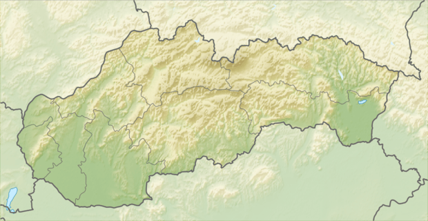 Location of Hrušovo in Slovakia | |
 Location of Hrušovo in the Banská Bystrica Region | |
| Statistics: MOŠ/MIS | |
| Website: www.e-obce.sk/obec/hrusovo/hrusovo.html | |
Hrušovo is a village and municipality in the Rimavská Sobota District of the Banská Bystrica Region of southern Slovakia. In the village are preserved typical 19th-century houses. Furthermore, in Hrušovo is foodstuff store, post, public library.
History
In historical records, the village was first mentioned in 1297 (1297 Huruswa, 1427 Hrwswa, 1511 Rwsowa). After, it passed to Muráň town. Locals had been engaged in weaving and basketry.
Genealogical resources
The records for genealogical research are available at the state archive "Statny Archiv in Banska Bystrica, Slovakia"
- Lutheran church records (births/marriages/deaths): 1787-1852 (parish A)
See also
External links
- http://www.tourist-channel.sk/hrusovo/indexen.php3
- http://www.e-obce.sk/obec/hrusovo/hrusovo.html
- Surnames of living people in Hrusovo
This article is issued from Wikipedia - version of the 12/9/2015. The text is available under the Creative Commons Attribution/Share Alike but additional terms may apply for the media files.