Hudson Bay Airport
| Hudson Bay Airport | |||||||||||
|---|---|---|---|---|---|---|---|---|---|---|---|
| IATA: YHB – ICAO: CYHB | |||||||||||
| Summary | |||||||||||
| Airport type | Public | ||||||||||
| Operator | Ministry of Highways & Infrastructure | ||||||||||
| Location | Hudson Bay No. 394, near Hudson Bay, Saskatchewan | ||||||||||
| Time zone | CST (UTC−06:00) | ||||||||||
| Elevation AMSL | 1,178 ft / 359 m | ||||||||||
| Coordinates | 52°49′06″N 102°18′40″W / 52.81833°N 102.31111°WCoordinates: 52°49′06″N 102°18′40″W / 52.81833°N 102.31111°W | ||||||||||
| Website | http://www.townofhudsonbay.com/default.aspx?page=3 | ||||||||||
| Map | |||||||||||
 CYHB 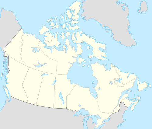 CYHB Location in Saskatchewan | |||||||||||
| Runways | |||||||||||
| |||||||||||
|
Sources: Canada Flight Supplement[1] | |||||||||||
Hudson Bay Airport, (IATA: YHB, ICAO: CYHB), is located 4 nautical miles (7.4 km; 4.6 mi) southeast of Hudson Bay, Saskatchewan, Canada. Although no commercial airlines use the Hudson Bay Airport many people fly there for recreation. It is also used as a base for the provinces Conair Firecat (Grunman G89) water bombers. The water bomber facilities include 8,000 gallon fire retardant tank, two 10,000 gallon water storage tanks and 10,000 gallon fuel tanks.[2]
In 2011, the provincial government funded repaving of the main runway and constructing a new taxi-way (resulting in the closure of the 2000 ft smaller runway 10/28); these upgrades permit the water bomber fleet that use the airport to expand to also include the Convair 580 and Turbo Aero Commanders.[3]
References
- ↑ Canada Flight Supplement. Effective 0901Z 15 September 2016 to 0901Z 10 November 2016
- ↑ Airport Description
- ↑ "Press Release - $2.6 MILLION INVESTED IN HUDSON BAY AIRPORT". Government of Saskatchewan. Retrieved 2011-08-10.
External links
| By name | |
|---|---|
| By location indicator | |
| By province/territory | |
| By region | |
| National Airports System | |
| Related | |
| |