Husan
| Husan | |
|---|---|
| Other transcription(s) | |
| • Arabic | حوسان |
| • Also spelled |
Hussan (official) Housan (unofficial) |
|
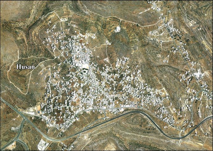
View of Husan | |
 Husan Location of Husan within the Palestinian territories | |
| Coordinates: 31°42′35.81″N 35°08′01.90″E / 31.7099472°N 35.1338611°ECoordinates: 31°42′35.81″N 35°08′01.90″E / 31.7099472°N 35.1338611°E | |
| Palestine grid | 162/124 |
| Governorate | Bethlehem |
| Government | |
| • Type | Municipality |
| • Head of Municipality | Jamal Sabatin |
| Area | |
| • Jurisdiction | 7,134 dunams (7.1 km2 or 2.7 sq mi) |
| Population (2007) | |
| • Jurisdiction | 5,511 |
| Name meaning | "Hovering round"[1] |

Husan (Arabic: حوسان) is a Palestinian town located nine kilometers west of Bethlehem, in the Bethlehem Governorate. According to the Palestinian Central Bureau of Statistics, Husan had a population of 5,511 in 2007.[2]
Etymology
In Arabic, husan means "goodness and beauty". The name may also be derived from Hassan monastery, which later became Husan.[3] In 1881, Edward Henry Palmer wrote that it came from "hovering round".[1]
History
The oldest remains found in the village date back to the Iron Age. Other remains date from the post-Babylonian Exile Period and the Middle Ages.[4] The original inhabitants came from the Arabian Peninsula and Yemen in the 3rd century.[3] Ceramics from the Byzantine era have been found.[5]
Ottoman era
Husan, like the rest of Palestine, was incorporated into the Ottoman Empire in 1517, and in the census of 1596, the village appeared in the tax registers as being in the Nahiya of Quds of the Liwa of Quds. It had an all Muslim population of 12 households and paid taxes on wheat, barley, summer crops, vineyards and fruit trees, vegetable and fruit garden, orchard, occasional revenues, goats and/or beehives.[6]
When the French explorer Victor Guérin first passed by Husan in June 1863, he noted that it was located on a mountain.[7] Later, in August the same year, he found that it contained only a small number of people, with houses grouped around a tower.[8]
In 1883, the Palestine Exploration Fund's Survey of Western Palestine described Hausan as a small stone village on a flat ridge, with a steep valley to the north and a well to the south.[9]
British Mandate era
In the 1922 census of Palestine, conducted by the British Mandate authorities, Husan had an all Muslim population of 396, 219 males and 177 females.[10] This had increased in the 1931 census to a total of 540, still all Muslim, in 122 houses.[11]
In 1945 the population of Husan was 770, all Arabs, who owned 7,252 dunams of land according to an official land and population survey.[12] Of this, 1,972 dunams were for cereals,[13] while 37 dunams were built-up (urban) land.[14]
1948-1967
In the wake of the 1948 Arab–Israeli War, and after the 1949 Armistice Agreements, Husan came under Jordanian rule.
post-1967
Since the Six-Day War in 1967, Husan has been under Israeli occupation.
The population in the 1967 census conducted by the Israeli authorities was 1,149.[15] In 1978, Husan had a total land area of 7,134 dunams. Since the establishment of Betar Illit and land expropriations by the Israeli Defense Forces, the town has been downsized to 1,425 dunams.[16]
On October 27, 1996, a 10-year-old Palestinian boy was beaten unconscious by an Israeli settler, after an incidence of alleged stone-throwing at passing vehicles. He died of his injuries the following day.[17]
Education
In 2009, there were five public schools in Husan, two for girls and three for boys, run by the Palestinian Ministry of Higher Education.[3]
References
- 1 2 Palmer, 1881, p. 295
- ↑ 2007 PCBS Census Palestinian Central Bureau of Statistics. p.117.
- 1 2 3 Husan profile
- ↑ Hussan Old Core The Centre for Cultural Heritage Preservation
- ↑ Dauphin, 1998, p. 913
- ↑ Hütteroth and Abdulfattah, 1977, p. 115
- ↑ Guérin, 1869, pt. 2, p. 385
- ↑ Guérin, 1869, pt. 3, p. 383
- ↑ Conder and Kitchener, 1883, p. 25
- ↑ Barron, 1923, Table VII, Sub-district of Bethlehem, p.18
- ↑ Mills, 1932, p. 36
- ↑ Government of Palestine, Department of Statistics. Village Statistics, April, 1945. Quoted in Hadawi, 1970, p. 57
- ↑ Government of Palestine, Department of Statistics. Village Statistics, April, 1945. Quoted in Hadawi, 1970, p. 102
- ↑ Government of Palestine, Department of Statistics. Village Statistics, April, 1945. Quoted in Hadawi, 1970, p. 152
- ↑ Perlmann, Joel (November 2011 – February 2012). "The 1967 Census of the West Bank and Gaza Strip: A Digitized Version" (PDF). Levy Economics Institute. Retrieved 24 June 2016.
- ↑ Husan: A Palestinian Village Undergoes the Segregation Wall Applied Research Institute - Jerusalem
- ↑ UN
Bibliography
| Wikimedia Commons has media related to Husan. |
- Barron, J. B., ed. (1923). Palestine: Report and General Abstracts of the Census of 1922. Government of Palestine.
- Conder, Claude Reignier; Kitchener, H. H. (1883). The Survey of Western Palestine: Memoirs of the Topography, Orography, Hydrography, and Archaeology. 3. London: Committee of the Palestine Exploration Fund.
- Dauphin, Claudine (1998). La Palestine byzantine, Peuplement et Populations. BAR International Series 726 (in French). III : Catalogue. Oxford: Archeopress.
- Guérin, Victor (1869). Description Géographique Historique et Archéologique de la Palestine (in French). 1: Judee, pt. 2. Paris: L'Imprimerie Nationale.
- Guérin, Victor (1869). Description Géographique Historique et Archéologique de la Palestine (in French). 1: Judee, pt. 3. Paris: L'Imprimerie Nationale.
- Hadawi, Sami (1970). Village Statistics of 1945: A Classification of Land and Area ownership in Palestine. Palestine Liberation Organization Research Center.
- Hütteroth, Wolf-Dieter; Abdulfattah, Kamal (1977). Historical Geography of Palestine, Transjordan and Southern Syria in the Late 16th Century. Erlanger Geographische Arbeiten, Sonderband 5. Erlangen, Germany: Vorstand der Fränkischen Geographischen Gesellschaft. ISBN 3-920405-41-2.
- Mills, E., ed. (1932). Census of Palestine 1931. Population of Villages, Towns and Administrative Areas. Jerusalem: Government of Palestine.
- Palmer, E. H. (1881). The Survey of Western Palestine: Arabic and English Name Lists Collected During the Survey by Lieutenants Conder and Kitchener, R. E. Transliterated and Explained by E.H. Palmer. Committee of the Palestine Exploration Fund.
External links
- Welcome To Husan
- Survey of Western Palestine, Map 17: IAA, Wikimedia commons
- Life in Husan
- Husan Village (Fact Sheet)
- Husan aerial photo
- The priorities and needs for development in Husan village based on the community and local authorities’ assessment
| Cities |  | |
|---|---|---|
| Municipalities | ||
| Villages |
| |
| Refugee camps | ||