Ibanda
| Ibanda | |
|---|---|
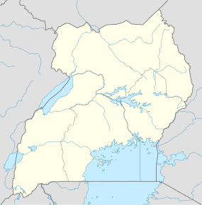 Ibanda Map of Uganda showing the location of Ibanda. | |
| Coordinates: 00°08′05″S 30°29′42″E / 0.13472°S 30.49500°E | |
| District | Ibanda District |
| Elevation | 1,400 m (4,600 ft) |
| Population (2014 Census) | |
| • Total | 31,316[1] |
| Time zone | EAT (UTC+3) |
| Climate | Aw |
Ibanda is a town in the Western Region of Uganda. It is the main political, administrative, and commercial centre of Ibanda District and the site of the district headquarters.
Location
Ibanda is located approximately 70 kilometres (43 mi), by road, northwest of Mbarara, the largest city in the Ankole sub-region.[2] This is about 290 kilometres (180 mi), by road, southwest of Kampala, the capital of and largest city in Uganda.[3] The coordinates of the town are 0°08'05.0"S, 30°29'42.0"E (Latitude:-0.134712; Longitude:30.495000).[4]
History
Ibanda is known for the killing of Harry George Galt, a British sub-commissioner for the western province of the Uganda Protectorate, on 19 May 1905.
Population
The 2002 national census estimated the population of Ibanda at 22,730. In 2010, the Uganda Bureau of Statistics (UBOS) estimated the population at 27,800. In 2011, UBOS estimated the mid-year population at 28,500.[5] In 2014, the national population census put the population at 31,316.[1]
Points of interest
The following additional points of interest lie in Ibanda town or close to its borders:
- offices of Ibanda Town Council
- Ibanda Hospital, a community hospital administered by the Roman Catholic Archdiocese of Mbarara[6]
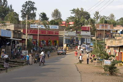
Photos
See also
References
- 1 2 UBOS (29 November 2014). "The Population of The Regions of the Republic of Uganda And All Cities And Towns of More Than 15,000 Inhabitants". Citypopulation.de Quoting Uganda Bureau of Statistics (UBOS). Retrieved 27 February 2015.
- ↑ "Distance Between Mbarara And Ibanda With Map". Globefeed.com. Retrieved 5 June 2014.
- ↑ "Map Showing Kampala And Ibanda With Distance Marker". Globefeed.com. Retrieved 5 June 2014.
- ↑ Google (4 July 2015). "Location of Ibanda At Google Maps" (Map). Google Maps. Google. Retrieved 4 July 2015.
- ↑ UBOS. "Estimated Population of Ibanda In 2002, 2010 & 2011" (PDF). Uganda Bureau of Statistics (UBOS). Retrieved 5 June 2014.
- ↑ MCU (25 July 2015). "About Ibanda Hospital". My Country Uganda (MCU). Retrieved 25 July 2015.
External links
Coordinates: 00°08′05″S 30°29′42″E / 0.13472°S 30.49500°E