Ill (Vorarlberg)
| Ill | |
|---|---|
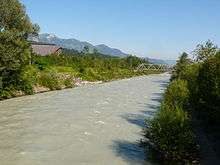 The Ill near Feldkirch-Gisingen. | |
| Country | Austria |
| Basin | |
| Main source |
2,240 m (7,350 ft) 46°52′9″N 10°6′32″E / 46.86917°N 10.10889°E |
| River mouth |
1,811 m (5,942 ft) 47°17′57″N 9°33′31″E / 47.29917°N 9.55861°ECoordinates: 47°17′57″N 9°33′31″E / 47.29917°N 9.55861°E |
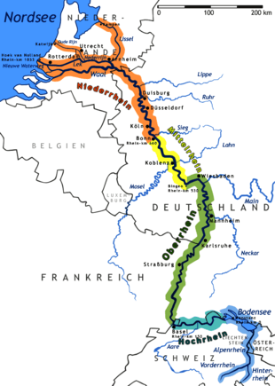
| Progression | Rhine → North Sea |
| River system | Rhine |
| Physical characteristics | |
| Length | 72 km (45 mi) |
The Ill (all capitals: ILL) is a 72 km long tributary of the Rhine in the western Austrian province of Vorarlberg.
It flows from the northern slopes of the Silvretta mountain range and then runs north-west through Vorarlberg. The Ill passes through the Montafon and Walgau valleys and the town Feldkirch. It joins the river Rhine a few kilometers northwest of Feldkirch ("Illspitz"), at the border with Switzerland. The Ill has several dams with hydroelectric power stations.
Tributaries of the Rhine | ||
|---|---|---|
| Left (western) |
|  |
| Right (eastern) |
| |
This article is issued from Wikipedia - version of the 5/28/2016. The text is available under the Creative Commons Attribution/Share Alike but additional terms may apply for the media files.