Jirisan National Park
| Jirisan National Park | |
|---|---|
| 지리산국립공원, 智異山國立公園 | |
|
IUCN category II (national park) | |
 | |
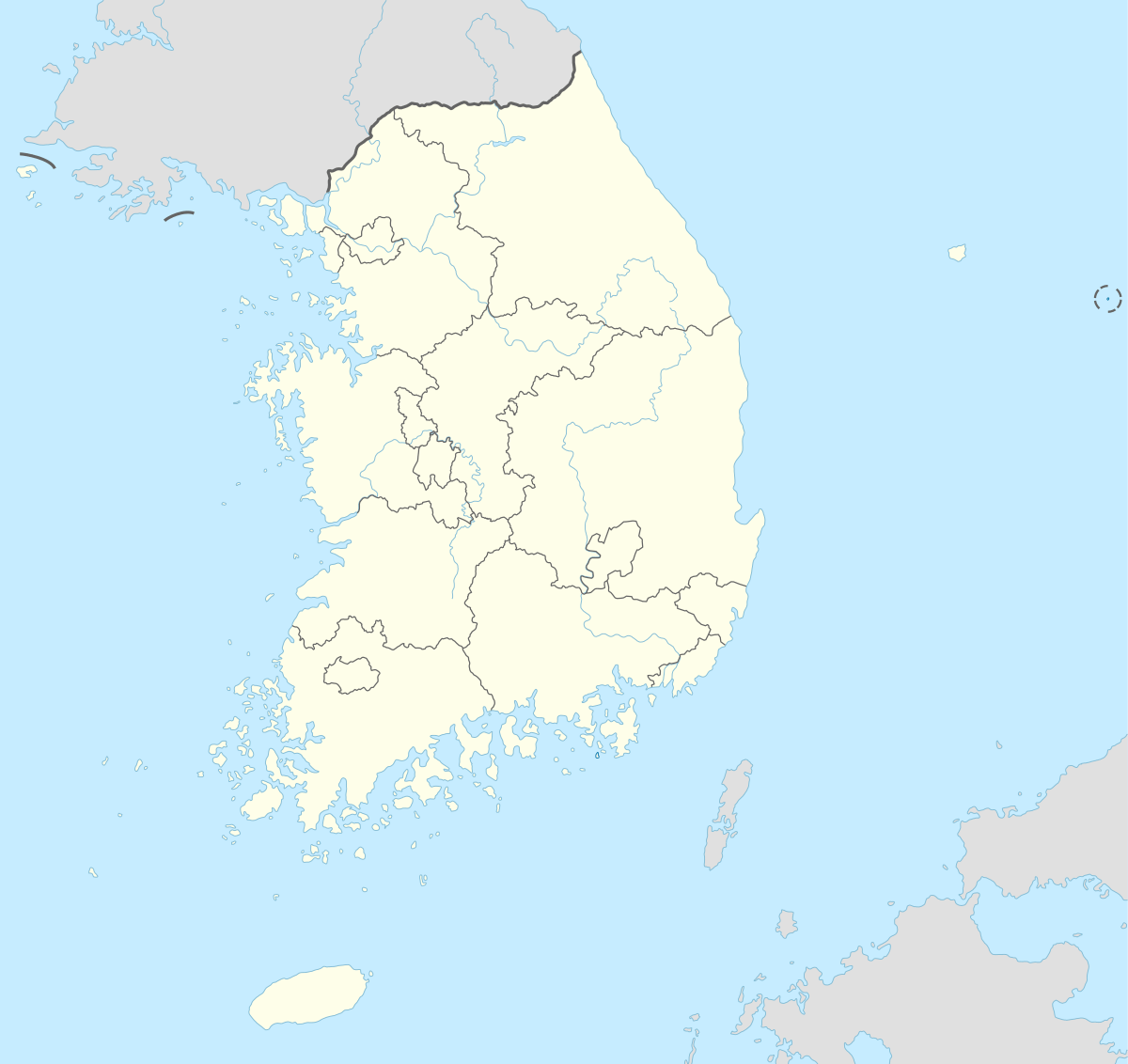
| Location | Jeollanam-do, Jeollabuk-do, Gyeongsangnam-do, South Korea |
| Nearest city | Gurye |
| Coordinates | 35°17′24″N 127°37′55″E / 35.29°N 127.632°E[1]Coordinates: 35°17′24″N 127°37′55″E / 35.29°N 127.632°E[2] |
| Area | 471.75 km2 (182.14 sq mi)[3] |
| Established | 29 December 1967 |
| Visitors | 1.5 million[3] |
| Governing body | Korea National Park Service |
| http://english.knps.or.kr/Knp/Jirisan/Intro/Introduction.aspx | |
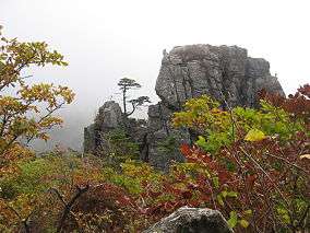
Taebaeksan
The twenty-one national parks of South Korea.
Land-based parks are in red and marine parks are in blue.
Land-based parks are in red and marine parks are in blue.
Jirisan National Park (Korean: 지리산국립공원, 智異山國立公園) is a national park in South Korea, located on the boundaries of Jeollanam-do, Jeollabuk-do, and Gyeongsangnam-do. It is also located bordering the towns of Namwon, Gurye, and Hamyang. Jirisan was the first park to be designated as a national park in South Korea, in 1967.[3] It is also the largest terrestrial national park in the country with an emphasis on biodiversity conservation, a well-known conservation programme on the Asiatic black bear and a pioneering restoration programme on damaged areas by overuse.
References
- ↑ "Jirisan National Park". protectedplanet.net.
- ↑ "Jirisan National Park". protectedplanet.net.
- 1 2 3 "Jirisan: Intro". Korea National Park Service. Retrieved 18 September 2010.
External links
| Wikivoyage has a travel guide for Jirisan National Park. |
- The park's page on Korea National Park Service's website
- Hadong-gun's Jirisan page
- Korea Map (Towns)
- Tour2Korea
Additional pictures of Jirisan National Park
.jpg)
Namwon Countryside - Jirisan National Park (2010)
.jpg)
Namwon Countryside - Jirisan National Park (2010)
.jpg)
Namwon Countryside - Jirisan National Park (2010)
View of Jirisan National Park from the outskirts: Namwon side
.jpg)
Namwon Countryside - (주천면) Jucheon Myeon (2010)
.jpg)
Namwon Countryside - (주천면) Jucheon Myeon (2010)
.jpg)
Namwon Countryside - (주천면) Jucheon Myeon (2010)
This article is issued from Wikipedia - version of the 11/19/2016. The text is available under the Creative Commons Attribution/Share Alike but additional terms may apply for the media files.