Kajtasovo
| Kajtasovo Кајтасово | |
|---|---|
| Village | |
|
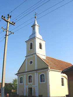
The Orthodox Church | |
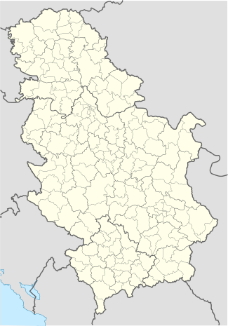 Kajtasovo Location of Kajtasovo within Serbia | |
| Coordinates: 44°52′35″N 21°15′18″E / 44.87639°N 21.25500°ECoordinates: 44°52′35″N 21°15′18″E / 44.87639°N 21.25500°E | |
| Country | Serbia |
| Province | Vojvodina |
| District | South Banat |
| Elevation | 66 m (217 ft) |
| Population (2002) | |
| • Kajtasovo | 287 |
| Time zone | CET (UTC+1) |
| • Summer (DST) | CEST (UTC+2) |
| Postal code | 26329 |
| Area code(s) | +381(0)13 |
| Car plates | VŠ |
Kajtasovo (Serbian Cyrillic: Кајтасово) is a village in Serbia. It is situated in the Bela Crkva municipality, in the South Banat District, Vojvodina province. The village has a Serb ethnic majority (88.15%) and a population of 287 people (2002 census).
Historical population
- 1961: 494
- 1971: 459
- 1981: 424
- 1991: 350
- 2002: 287
References
- Slobodan Ćurčić, Broj stanovnika Vojvodine, Novi Sad, 1996.
See also
| Wikimedia Commons has media related to Kajtasovo. |
This article is issued from Wikipedia - version of the 6/10/2016. The text is available under the Creative Commons Attribution/Share Alike but additional terms may apply for the media files.