Kato Moni
| Kato Moni Κάτω Μονή | |
|---|---|
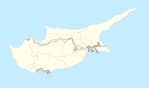 Kato Moni Location in Cyprus | |
| Coordinates: 35°3′39″N 33°5′35″E / 35.06083°N 33.09306°ECoordinates: 35°3′39″N 33°5′35″E / 35.06083°N 33.09306°E | |
| Country |
|
| District | Nicosia District |
| Population (2001)[1] | |
| • Total | 311 |
| Time zone | EET (UTC+2) |
| • Summer (DST) | EEST (UTC+3) |
Kato Moni (Greek: Κάτω Μονή) is a village in the Nicosia District of Cyprus, located 7 km south of Peristerona. In 2001 the village had 311 inhabitants. East of the town lies the now uninhabited Turkish Cypriot village of Agioi Iliofotoi. Kato Moni is connected via road to the village of Orounta in the north (2 km), to the village of Agioi Iliofotoi in the south-east (1,5 km), and to the village of Agia Marina Xyliatou in the south-west 3 km).[2]
External links
References

This article is issued from Wikipedia - version of the 10/16/2015. The text is available under the Creative Commons Attribution/Share Alike but additional terms may apply for the media files.