Kyra, Cyprus
| Kyra | |
|---|---|
 Kyra | |
| Coordinates: 35°12′09″N 33°03′28″E / 35.20250°N 33.05778°ECoordinates: 35°12′09″N 33°03′28″E / 35.20250°N 33.05778°E | |
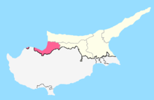
| Country |
|
| • District | Nicosia District |
| Country (controlled by) |
|
| • District | Güzelyurt District |
| Population (2011)[1] | |
| • Total | 386 |
| Time zone | EET (UTC+2) |
| • Summer (DST) | EEST (UTC+3) |
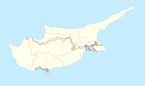
Kyra (Greek: Κυρά; Turkish: Mevlevi) is a village located in the Nicosia District of Cyprus, 6 km east of Morphou. De facto, it is under the control of Northern Cyprus.
Originally inhabited by Greek Cypriots, since the Turkish invasion in 1974, the village has been solely inhabited by Turks.[2] The Church of Panagia is used by the Turkish army as a depot.
References
- ↑ "KKTC 2011 Nüfus ve Konut Sayımı" [TRNC 2011 Population and Housing Census] (PDF). TRNC State Planning Organization. 6 August 2013. p. 22.
- ↑ https://docs.google.com/viewer?a=v&q=cache:HFPwLt8LC_AJ:www.unhchr.ch/Huridocda/Huridoca.nsf/0/f4f30ed4b0ee47f5c1256af4003755db/%24FILE/G0115564.pdf+Fterycha&hl=en&gl=uk&pid=bl&srcid=ADGEESjJWaRiEGn3eIn6YUUnIhuA6FmNv2q_uUpAFejCqfJngD6TmPkNyTFZ7lACAEWg4f823_M1QrgWdPN6j2kJZo7iVpwusSqFxL2I-1ee2GXe8hCBkxduvWQHg1kpf_FmdB2_WCFC&sig=AHIEtbQ8XjiXdelgW7MpJxFm8XIM5DM69Q

This article is issued from Wikipedia - version of the 11/9/2016. The text is available under the Creative Commons Attribution/Share Alike but additional terms may apply for the media files.