Keyes Ferry Acres, West Virginia
| Keyes Ferry Acres | |
|---|---|
| Unincorporated community | |
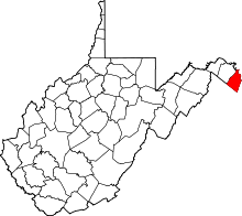
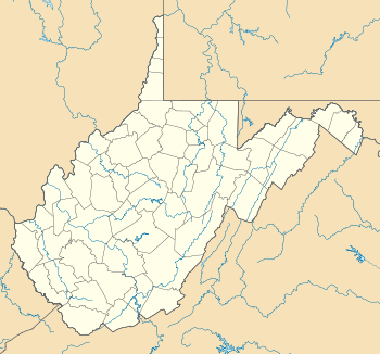 Keyes Ferry Acres  Keyes Ferry Acres Location within the state of West Virginia | |
| Coordinates: 39°16′47″N 77°46′29″W / 39.27972°N 77.77472°WCoordinates: 39°16′47″N 77°46′29″W / 39.27972°N 77.77472°W | |
| Country | United States |
| State | West Virginia |
| County | Jefferson |
| Time zone | Eastern (EST) (UTC-5) |
| • Summer (DST) | EDT (UTC-4) |
| GNIS feature ID | 1727739[1] |
Keyes Ferry Acres is an unincorporated community planned community in Jefferson County, West Virginia, United States. Keyes Ferry Acres lies to the south of Blue Ridge Acres on the Loudoun Heights of the Blue Ridge Mountains. The entrances to this community are off County Route 32, titled "Chestnut Hill Road". The community takes its name from Keyes Ferry, which operated at that location in the 18th and 19th centuries. Keyes Ferry Acres is a town which contains the communities of Harpers Ferry Campsites, Shenanwood, and Wide River Farm.
References
This article is issued from Wikipedia - version of the 10/14/2016. The text is available under the Creative Commons Attribution/Share Alike but additional terms may apply for the media files.