Khajuraho (town)
| Khajuraho Hindi: खजुराहो | |
|---|---|
| city | |
 Khajuraho | |
| Coordinates: 24°51′N 79°56′E / 24.85°N 79.93°ECoordinates: 24°51′N 79°56′E / 24.85°N 79.93°E | |
| Country | India |
| State | Madhya Pradesh |
| District | Chhatarpur |
| Elevation | 283 m (928 ft) |
| Population (2001) | |
| • Total | 19,282 |
| Time zone | IST (UTC+5:30) |
| Sex ratio | 1100 ♂/♀ |
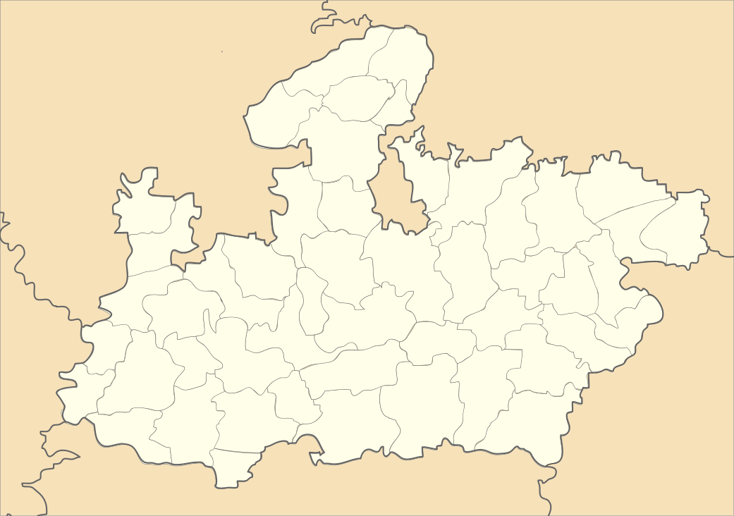
Khajuraho is a town in the Indian state of Madhya Pradesh, located in Chhatarpur District, about 620 kilometres (385 miles) southeast of New Delhi, the capital city of India.
One of the most popular tourist destinations in India, Khajuraho has the largest group of medieval Hindu and Jain temples, famous for their erotic sculpture. The Khajuraho group of monuments has been listed as a UNESCO World Heritage Site, and is considered to be one of the "seven wonders" of India.
The name Khajuraho, ancient "Kharjuravahaka", is derived from the Sanskrit word kharjur meaning date palm.
Geography
Khajuraho is located at 24°51′N 79°56′E / 24.85°N 79.93°E.[1] It has an average elevation of 283 metres (928 feet).
Demographics
As of 2001 India census,[2] Khajuraho had a population of 19,282. Males constitute 52% of the population and females 48%. Khajuraho has an average literacy rate of 53%, lower than the national average of 59.5%: male literacy is 62%, and female literacy is 43%. In Khajuraho, 19% of the population is under 6 years of age.
References
- ↑ Falling Rain Genomics, Inc - Khajuraho
- ↑ "Census of India 2001: Data from the 2001 Census, including cities, villages and towns (Provisional)". Census Commission of India. Archived from the original on 2004-06-16. Retrieved 2008-11-01.
External links
| Wikimedia Commons has media related to Khajuraho. |