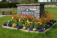
Kilgetty
| Kilgetty | |
| Welsh: Cilgeti | |
 Kilgetty |
|
| Population | 2,262 |
|---|---|
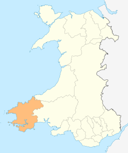
| Principal area | Pembrokeshire |
| Ceremonial county | Dyfed |
| Country | Wales |
| Sovereign state | United Kingdom |
| Post town | KILGETTY |
| Postcode district | SA68 |
| Dialling code | 01834 |
| Police | Dyfed-Powys |
| Fire | Mid and West Wales |
| Ambulance | Welsh |
| EU Parliament | Wales |
| UK Parliament | Carmarthen West and South Pembrokeshire |
|
|
Coordinates: 51°43′55″N 4°43′05″W / 51.73205°N 4.718113°W
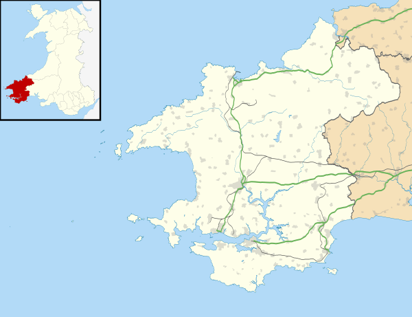
Kilgetty (Welsh: Cilgeti) is a village immediately north of Saundersfoot in Pembrokeshire, Wales.[1] It lies at the crossing of the A477 road between St. Clears and Pembroke Dock and the A478 road between Tenby and Cardigan. The community of Kilgetty contains the villages of Killgetty, Reynalton and Begelly, and has a population of 2011 recorded in the 2001 census,[1] updated to 2,262 at the 2011 Census.[2]
The village has local shopping facilities with a supermarket, newsagents, chemists, car and bicycle shop, carpet and bed shop, fish and chip shop, Chinese takeaway and Indian restaurant and takeaway.
The pub, which was called the Railway Inn, is now known as the White Horse. There is also a RAOB social club and a local sports club that has a cricket ground.
Kilgetty railway station is on the West Wales Line.
External links
Notes
- 1 2 Davies, John; Jenkins, Nigel; Menna, Baines; Lynch, Peredur I., eds. (2008). The Welsh Academy Encyclopaedia of Wales. Cardiff: University of Wales Press. p. 437. ISBN 978-0-7083-1953-6.
- ↑ "Ward/community population 2011". Retrieved 19 April 2015.