Killaworgey
| Killaworgey | |
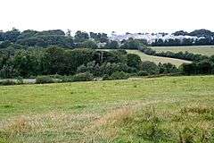 View towards Killaworgey |
|
 Killaworgey |
|
| OS grid reference | SW906609 |
|---|---|
| Civil parish | St Columb Major |
| Unitary authority | Cornwall |
| Ceremonial county | Cornwall |
| Region | South West |
| Country | England |
| Sovereign state | United Kingdom |
| EU Parliament | South West England |
Coordinates: 50°24′40″N 4°56′56″W / 50.411°N 4.949°W
Killaworgey is a hamlet near Indian Queens in Cornwall, England.[1]
References
Cornwall Portal | |
| Unitary authorities | |
| Major settlements |
|
| Rivers | |
| Topics | |
This article is issued from Wikipedia - version of the 1/20/2016. The text is available under the Creative Commons Attribution/Share Alike but additional terms may apply for the media files.