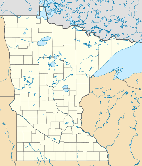
Lake of the Woods State Forest
| Lake of the Woods State Forest | |
|---|---|
 | |
| Geography | |
| Location | Beltrami, Koochiching, Lake of the Woods, and Roseau counties, Minnesota, United States |
| Coordinates | 48°48′54″N 94°42′20″W / 48.815°N 94.7055556°WCoordinates: 48°48′54″N 94°42′20″W / 48.815°N 94.7055556°W [1] |
| Elevation | 1,076 feet (328 m) |
| Area | 142,331 acres (57,599 ha) |
| Established | 1990 |
| Governing body | Minnesota Department of Natural Resources |
| Website |
www |
| Ecology | |
| WWF Classification | Western Great Lakes Forests |
| EPA Classification | Northern Lakes and Forests |
The Lake of the Woods State Forest is a state forest located south of Lake of the Woods in Beltrami, Koochiching, Lake of the Woods, and Roseau counties, Minnesota. The forest borders the Pine Island State Forest to the east and the Beltrami Island State Forest to the west.
Outdoor recreational activities include boating, canoeing, kayaking, and fishing. Hunting for small game and white-tailed deer is popular in the fall, and trails are designated for snowmobiling in the winter. Camping facilities are available at Beltrami Island State Forest and the nearby Zippel Bay State Park.[2]
References
- ↑ "Lake of the Woods Campground". Geographic Names Information System. United States Geological Survey.
- ↑ "Lake of the Woods State Forest". Minnesota Department of Natural Resources. 2010-10-10. Retrieved 2010-10-11.
This article is issued from Wikipedia - version of the 4/5/2012. The text is available under the Creative Commons Attribution/Share Alike but additional terms may apply for the media files.