Lawang, Malang
This article is about Lawang in Malang Regency. For Lawang Sewu, see Lawang Sewu.
| Lawang | |
|---|---|
| Village | |
| Nickname(s): Kota Apel (Apple Town) | |
| Motto: Mandiri, Agamis, Demokratis, Produktif, Maju, Aman, Tertib dan Berdaya Saing | |
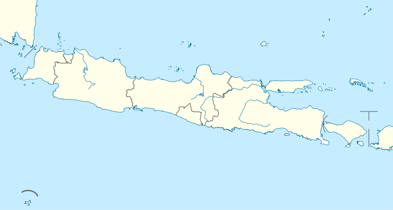 Lawang Location of Lawang within Java | |
| Coordinates: 7°49′48″S 112°42′0″E / 7.83000°S 112.70000°ECoordinates: 7°49′48″S 112°42′0″E / 7.83000°S 112.70000°E | |
| Country |
|
| Province | East Java |
| Regency | Malang |
| Government | |
| • District Chief | Ahmad Muwassi Arif |
| Area | |
| • Total | 68 km2 (26 sq mi) |
| Elevation[1] | 1,600 m (5,200 ft) |
| Population (December 2011) | |
| • Total | 93,563 |
| • Density | 1,400/km2 (3,600/sq mi) |
| Time zone | WIB (UTC+7) |
| Postal Code | 65211 and 65212 |
| Area code(s) | 0341 |
| Website | http://lawang.malangkab.go.id/ |
Lawang is a district-town in Malang, East Java and is geographically located in the mountains and surrounded by Mount Arjuno and Mount Semeru. Bordering with sub-district Singosari and Purwodadi Subdistrict, Pasuruan. Lawang is known as a resort town since the Dutch colonial era.
Tourist attractions in Lawang include Wonosari Tea Garden PTP XXIII, Polaman Baths, Swimming Pools, Krabayakan Tourism Village, and Mount Wedon. In addition, many ancient buildings in Lawang are of former Dutch heritage.
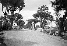
Main road in Lawang on the border with Malang residency Pasuruan, East Java in circa 1924.
Together with Singosari and Kepanjen, Lawang is known as the main buffer satellite city of Malang, which is included in the area of Malang Raya (Greater Malang).
References
- ↑ Johan Frans van Bemmelen, G. B. Hooijer, Jan Frederik Niermeyer, Koninklijke Paketvaart Maatschappij (1906). Guide Through Netherlands India: Comp. by Order of the Koninklijke Paketvaart Maatschappij (Royal Packet Company. T. Cook & Son. Retrieved May 11, 2016.

This article is issued from Wikipedia - version of the 7/15/2016. The text is available under the Creative Commons Attribution/Share Alike but additional terms may apply for the media files.