Assiniboia, Saskatchewan
| Assiniboia | |
|---|---|
| Town | |
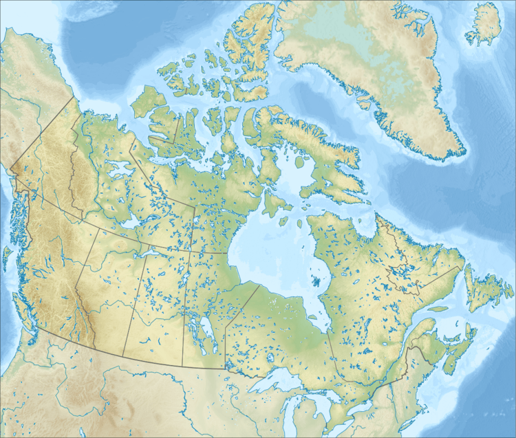
 Assiniboia  Assiniboia Location of Assiniboia in Saskatchewan | |
| Coordinates: 49°37′N 105°59′W / 49.617°N 105.983°W | |
| Country |
|
| Province |
|
| Federal Electoral District | Cypress Hills-Grasslands |
| Provincial Constituency | Constituency of Wood River |
| Village | 22 December 1912 |
| Town | 1913 |
| Government | |
| • Mayor | Bob Himbeault |
| • Member of the Legislative Assembly | Yogi Huyghebaert |
| • Member of Parliament | David L. Anderson |
| Area | |
| • Land | 3.78 km2 (1.46 sq mi) |
| Population (2011) | |
| • Total | 2,418 |
| • Density | 247.0/km2 (639.8/sq mi) |
| Demonym(s) | Assiniboian |
| Time zone | Central Standard Time (UTC-6) |
| Website | Town of Assiniboia |
| [1] | |
Assiniboia is a town in Southern Saskatchewan, Canada. It is located 110 kilometres (68 mi) south-southwest of Moose Jaw beside Highway 2 and Highway 13.
History

The Dominion Land Survey's description of the area around Assiniboia is Sec.18, Twp.8, R.29, W2. It was first settled by people of English, French, Romanian, Scottish and Scandinavian descent.[2] From 30 March 1908 to 23 November 1912, the post office at this location was named Leeville, Saskatchewan.[3]
The settlement of Assiniboia originated on 12 October 1912, when the Canadian Pacific Railway put 980 lots up for sale at the townsite as it built a branch line through southern Saskatchewan. The community grew rapidly and on 22 December 1912 it was incorporated as a village. In 1913, the population rose from 400 to 1,400, and the community was incorporated as a town. The town's name comes from the former district of Assiniboia, in which the town is located.[4]
During the Great Depression, town officials employed out-of-work men to construct the Assiniboia sewer system. Unfortunately, the town could not afford to operate it until 1948.[2]
The RCAF Station Assiniboia World War II airfield, (now operated as the Assiniboia Airport) is located 10 km (6 mi) north of Assiniboia. It was used for elementary flight school training during the World War II years of 1942-1944.[5]
Demographics
| Canada census – Assiniboia, Saskatchewan community profile | |||
|---|---|---|---|
| 2011 | 2006 | ||
| Population: | 2,418 (4.9% from 2006) | 2,305 (-7.2% from 2001) | |
| Land area: | 3.78 km2 (1.46 sq mi) | 3.78 km2 (1.46 sq mi) | |
| Population density: | 639.8/km2 (1,657/sq mi) | 609.9/km2 (1,580/sq mi) | |
| Median age: | 50.8 (M: 47.8, F: 54.3) | 46.8 (M: 43.4, F: 49.5) | |
| Total private dwellings: | 1,241 | 1,228 | |
| Median household income: | $46,955 | ||
| References: 2011[6] 2006[7] | |||
Climate
| Climate data for Assiniboia Airport, 1981–2010 normals, extremes 1915–present | |||||||||||||
|---|---|---|---|---|---|---|---|---|---|---|---|---|---|
| Month | Jan | Feb | Mar | Apr | May | Jun | Jul | Aug | Sep | Oct | Nov | Dec | Year |
| Record high °C (°F) | 11.2 (52.2) |
18.0 (64.4) |
22.3 (72.1) |
32.0 (89.6) |
37.0 (98.6) |
40.5 (104.9) |
42.8 (109) |
40.0 (104) |
37.5 (99.5) |
33.5 (92.3) |
24.7 (76.5) |
12.9 (55.2) |
42.8 (109) |
| Average high °C (°F) | −6.4 (20.5) |
−3.4 (25.9) |
2.2 (36) |
11.8 (53.2) |
18.0 (64.4) |
22.3 (72.1) |
26.3 (79.3) |
26.1 (79) |
19.4 (66.9) |
11.6 (52.9) |
1.5 (34.7) |
−4.4 (24.1) |
10.5 (50.9) |
| Daily mean °C (°F) | −11.8 (10.8) |
−8.6 (16.5) |
−3.2 (26.2) |
5.1 (41.2) |
11.0 (51.8) |
15.8 (60.4) |
18.9 (66) |
18.3 (64.9) |
12.1 (53.8) |
5.1 (41.2) |
−3.8 (25.2) |
−9.7 (14.5) |
4.2 (39.6) |
| Average low °C (°F) | −17.2 (1) |
−13.9 (7) |
−8.6 (16.5) |
−1.7 (28.9) |
3.9 (39) |
9.3 (48.7) |
11.5 (52.7) |
10.5 (50.9) |
4.8 (40.6) |
−1.5 (29.3) |
−9.1 (15.6) |
−15.0 (5) |
−2.2 (28) |
| Record low °C (°F) | −43.9 (−47) |
−40.6 (−41.1) |
−36.6 (−33.9) |
−30.0 (−22) |
−12.8 (9) |
−4.4 (24.1) |
0.8 (33.4) |
−2.8 (27) |
−13.3 (8.1) |
−23.9 (−11) |
−33.0 (−27.4) |
−43.5 (−46.3) |
−43.9 (−47) |
| Average precipitation mm (inches) | 16.1 (0.634) |
9.3 (0.366) |
15.1 (0.594) |
21.0 (0.827) |
51.1 (2.012) |
75.9 (2.988) |
60.1 (2.366) |
36.2 (1.425) |
34.0 (1.339) |
20.1 (0.791) |
15.1 (0.594) |
14.8 (0.583) |
374.6 (14.748) |
| Source: Environment Canada[8][9] | |||||||||||||
Education
- Seventh Avenue School (kindergarten - grade 4)
- Assiniboia Elementary School (grades 5 - 8)
- Assiniboia Composite High School (grades 9 - 12)
- Southeast Regional College - Assiniboia Campus (post-secondary)
References
- ↑ "Municipality Details". Municipal Directory System. Ministry of Municipal Affairs. 2 November 2009. Retrieved 2011-01-22.
- 1 2 McLennan, David (2006). "Assiniboia". Encyclopedia of Saskatchewan. Canadian Plains Research Center. Retrieved 2011-01-22.
- ↑ "Assiniboia". Post Offices and Postmasters. Library and Archives Canada. 31 January 2007. Retrieved 2011-01-22.
- ↑ "Community Profile" (PDF). Town of Assiniboia. 10 October 2006. Retrieved 2011-01-22.
- ↑ "BCATP Schools". Flight Ontario. Retrieved 2011-01-22.
- ↑ "2011 Community Profiles". Canada 2011 Census. Statistics Canada. July 5, 2013. Retrieved 2012-11-12.
- ↑ "2006 Community Profiles". Canada 2006 Census. Statistics Canada. March 30, 2011. Retrieved 2009-02-24.
- ↑ "Canadian Climate Normals 1981–2010". Environment Canada. Retrieved 2016-09-15.
- ↑ "Canadian Climate Data". Environment Canada. Retrieved 2016-09-15.
External links
 |
Congress |  | ||
| Valor / Limerick | |
Willows | ||
| ||||
| | ||||
| Maxstone |