Lhünzhub
| Lhünzhub | |
|---|---|
| Town | |
| Tibetan transcription(s) | |
| Chinese transcription(s) | |
 Lhünzhub | |
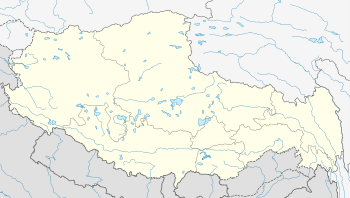
| Coordinates: 29°54′1″N 91°15′34″E / 29.90028°N 91.25944°E | |
| Country | China |
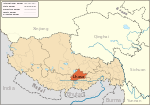
| Province | Tibet Autonomous Region |
| Prefecture | Lhasa Prefecture |
| County | Lhünzhub County |
| Time zone | CST (UTC+8) |
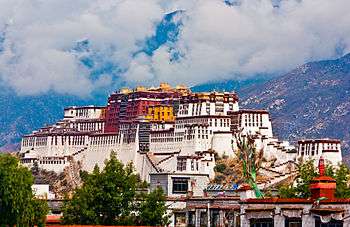
Lhünzhub (Tibetan: ལྷུན་གྲུབ , Chinese: 甘丹曲果镇) is a small town, the administrative center of Lhünzhub County in the Lhasa Prefecture of Tibet, China. It is located northeast of Lhasa.
Lhünzhub has jurisdiction over six villages, with a population of 7349 people, all ethnic Tibetan. The economy is dominated by agriculture and animal husbandry. There are 27,640 acres (11,190 ha) of arable land producing barley, wheat, rape and other crops. The town has a primary school and a clinic. There is a small hydropower station.[1] The town lies on the Pengbo River.
The average temperature is 69 °C (156 °F) and the average annual precipitation is 414 millimetres (16.3 in). January is the driest month, with no rainfall, and August is the wettest with an average of 122 millimetres (4.8 in).[2]
References
Sources
- "Climate: ལྷུན་གྲུབ་ 甘丹曲果镇". Climate-Data.org. Retrieved 2015-02-13.
- "Lhünzhub (甘丹曲果镇)". Baidu Baike (in Chinese). Baidu. Retrieved 2015-02-13.