List of lighthouses in Delaware
This is a list of all lighthouses in the U.S. state of Delaware as identified by the United States Coast Guard. The first lighthouse in the state was erected in 1769[1] and the last in 1925 (ignoring automated towers erected later); the oldest active light is the Fenwick Island Light.[2]
If not otherwise noted, focal height and coordinates are taken from the United States Coast Guard Light List,[3] while location and dates of activation, automation, and deactivation are taken from the United States Coast Guard Historical information site for lighthouses.[2]
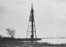
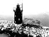
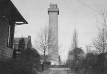
.jpg)
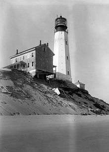

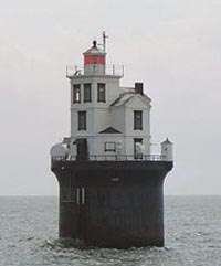
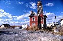
_2.jpg)
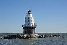
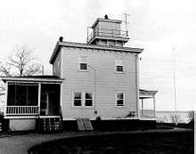
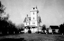
.jpg)
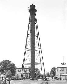
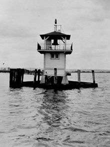
.jpg)

.jpg)
Notes
- ↑ If there is a second date, it represents the date the most recent tower was lit.
- ↑ Charts show the light up to 1930 but the light appears in listings to the end of the decade.
- ↑ current tower
- ↑ current tower
References
- ↑ "Lighthouses of the United States: Delaware". Russ Rowlett.
- 1 2 "Historic Light Station Information and Photography: Delaware". United States Coast Guard Historian's Office.
- ↑ Light List, Volume II, Atlantic Coast, Shrewsbury River, New Jersey to Little River, South Carolina (PDF). Light List. United States Coast Guard. 2012.
- ↑ "Baker Rear Range, DE". LighthouseFriends.
- 1 2 3 "Bellevue Rear Range, DE". LighthouseFriends.
- ↑ "Inventory of Historic Light Stations: Bellevue Range Rear Light". National Park Service.
- 1 2 List of Light-houses, Lighted Beacons, and Floating Lights of the Atlantic, Gulf, and Pacific Coasts of the United States. Treasury Department. January 1, 1868. pp. 24–25. Retrieved 2014-01-23.
- 1 2 3 "Delaware Breakwater Light". LighthouseFriends. Retrieved 2014-01-23.
- 1 2 List of Lights and Fog Signals on the Atlantic and Gulf Coasts of the United States. Washington, DC: Government Printing Office. June 30, 1900. p. 106.
- 1 2 "Cherry Island Range, DE". LighthouseFriends.
- 1 2 3 4 5 6 7 List of Lights and Fog Signals on the Atlantic and Gulf Coasts of the United States. Government Printing Office. March 1, 1907. p. 124. Retrieved 2014-01-15.
- 1 2 3 Trapani, Bob (2007). "Christiana River Light Station". Delaware Lights: A History of Lighthouses in the First State. History Press. pp. 46–49. Retrieved 2014-01-21.
- 1 2 List of Lights and Fog Signals on the Atlantic and Gulf Coasts of the United States. Government Printing Office. June 30, 1900. p. 94. Retrieved 2014-01-23.
- 1 2 3 "Delaware Breakwater Rear Range (Green Hill) Light". LighthouseFriends. Retrieved 2014-01-23.
- ↑ "Fenwick Island, DE". LighthouseFriends.
- ↑ "Liston rear Range, DE". Lighthouse Friends.
- ↑ "Inventory of Historic Light Stations: Delaware Lighthouses: Reedy Island Range Rear Light". National Park Service. Retrieved 2013-12-20.
This article is issued from Wikipedia - version of the 10/18/2016. The text is available under the Creative Commons Attribution/Share Alike but additional terms may apply for the media files.