Lower Glenelg National Park
| Lower Glenelg National Park Victoria | |
|---|---|
|
IUCN category II (national park) | |
 Lower Glenelg National Park | |
| Nearest town or city | Nelson |
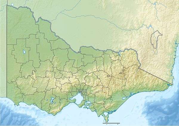
| Coordinates | 38°03′58″S 141°17′19″E / 38.06611°S 141.28861°ECoordinates: 38°03′58″S 141°17′19″E / 38.06611°S 141.28861°E |
| Established | 1969[1] |
| Area | 273 km2 (105.4 sq mi)[2] |
| Visitation | 200,000 (in 1991)[1] |
| Managing authorities | Parks Victoria |
| Website | Lower Glenelg National Park |
| See also | Protected areas of Victoria |
The Lower Glenelg National Park is a national park in the Western District of Victoria, Australia. The 27,300-hectare (67,000-acre) national park is situated approximately 323 kilometres (201 mi) west of Melbourne. The major features of the park are the Glenelg River gorge and the Princess Margaret Rose Cave. Much of the course of the Great South West Walk is located within the national park.[3]
The park abuts the Cobboboonee National Park in the east and the South Australian border in the west. To the south lies the Discovery Bay Coastal Park which is adjacent to the Southern Ocean.
See also
References
- 1 2 "Lower Glenelg National Park Management Plan" (PDF). Parks Victoria (PDF). Government of Victoria. May 1991. p. 11. ISBN 0-7306-2068-9. Retrieved 20 August 2014.
- ↑ "Lower Glenelg National Park, Discovery Bay Coastal Park: Visitor Guide" (PDF). Parks Victoria (PDF). Government of Victoria. June 2014. Retrieved 20 August 2014.
- ↑ "Lower Glenelg National Park". Parks Victoria. Retrieved 25 January 2013.
This article is issued from Wikipedia - version of the 4/4/2016. The text is available under the Creative Commons Attribution/Share Alike but additional terms may apply for the media files.