Lysterfield Park
| Lysterfield Park Victoria | |
|---|---|
|
IUCN category II (national park) | |
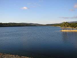 Lysterfield Lake located within the park | |
 Lysterfield Park | |
| Nearest town or city | Lysterfield |
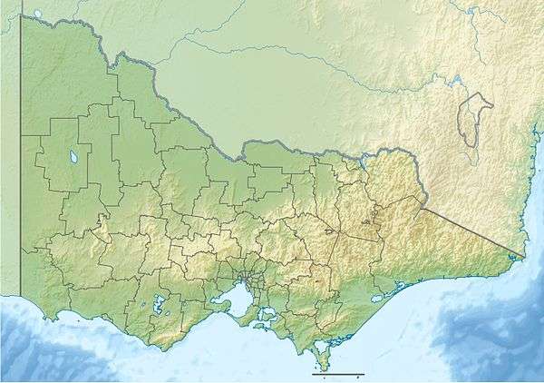
| Coordinates | 37°56′56″S 145°17′46″E / 37.94889°S 145.29611°ECoordinates: 37°56′56″S 145°17′46″E / 37.94889°S 145.29611°E |
| Established | 19 May 1981[1] |
| Area | 13.98 km2 (5.4 sq mi)[1] |
| Managing authorities | Parks Victoria |
| Website | Lysterfield Park |
| See also | Protected areas of Victoria |
The Lysterfield Park is a public park located in the Greater Melbourne region of Victoria, Australia. The 1,398-hectare (3,450-acre) park is situated approximately 30 kilometres (19 mi) southeast of the Melbourne central business district, adjacent to the suburb of Lysterfield in the City of Casey. When combined with the adjacent Churchill National Park, the two parks comprise 1,668 hectares (4,120 acres) in the Dandenong Valley and the Dandenong Ranges that are a haven for native birds, mammals and reptiles, and provide recreational opportunities.[2]
Lysterfield Park was created following the decommissioning of the Lysterfield Reservoir (built in 1936) and placement of its catchment under the management of the then National Park Service in 1979. Gazetted on 19 May 1981 with 1,151 hectares (2,840 acres), extensions to the park were made in 1984, 1988, 1995 and 1997.[1]
Features
Lysterfield Park was the venue for mountain biking events of the 2006 Commonwealth Games.[3]
It features a wide array of trails suitable for XC and trail MTB riding. The trails are well signposted and give clear indication of the level of difficulty they present to the rider. Trail management over recent years 2012 - 2015 has led to vastly improved drainage, usage of natural and man-made features and as a result trail conditions are much improved.
Lysterfield's location, range and variety of trails and natural beauty make it one of the better MTB locations in Melbourne.
In 2008, several emergency markers were installed in the park to allow callers to emergency services to give their location more precisely.[4]
See also
References
- 1 2 3 "Churchill National Park and Lysterfield Park Management Plan" (PDF). Parks Victoria (PDF). May 2009 [August 1998]. p. 12. ISBN 0-7306-6686-7. Retrieved 10 August 2014.
- ↑ "Lysterfield Park & Churchill National Park: Visitor Guide" (PDF). Parks Victoria (PDF). April 2007. Retrieved 10 August 2014.
- ↑ Gray, Darren (18 February 2004). "Bike trails site chosen for Games". The Age. Retrieved 26 December 2009.
- ↑ "Safety first at Lysterfield Park". Berwick News. 29 May 2008. Retrieved 26 December 2009.
External links
- Parks Victoria's Lysterfield Park page
- Commonwealth Games' Lysterfield Park page
- Mountain Bike Trail Map (Parks Victoria)
| ||