Madison Municipal Airport (Georgia)
| Madison Municipal Airport | |||||||||||
|---|---|---|---|---|---|---|---|---|---|---|---|
| IATA: none – ICAO: none – FAA LID: 52A | |||||||||||
| Summary | |||||||||||
| Airport type | Public | ||||||||||
| Owner | City of Madison | ||||||||||
| Serves | Madison, Georgia | ||||||||||
| Elevation AMSL | 694 ft / 212 m | ||||||||||
| Coordinates | 33°36′44″N 083°27′38″W / 33.61222°N 83.46056°WCoordinates: 33°36′44″N 083°27′38″W / 33.61222°N 83.46056°W | ||||||||||
| Map | |||||||||||
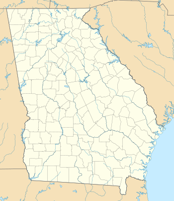 52A Location of airport in Georgia | |||||||||||
| Runways | |||||||||||
| |||||||||||
| Statistics (2011) | |||||||||||
| |||||||||||
Madison Municipal Airport (FAA LID: 52A) is a city owned, public use airport located two nautical miles (4 km) northeast of the central business district of Madison, a city in Morgan County, Georgia, United States.[1] It is included in the National Plan of Integrated Airport Systems for 2011–2015, which categorized it as a general aviation facility.[2]
Facilities and aircraft
Madison Municipal Airport covers an area of 70 acres (28 ha) at an elevation of 694 feet (212 m) above mean sea level. It has one runway designated 14/32 with an asphalt surface measuring 3,806 by 75 feet (1,160 x 23 m).[1]
For the 12-month period ending June 15, 2011, the airport had 4,700 aircraft operations, an average of 12 per day: 94% general aviation and 6% air taxi. At that time there were 20 aircraft based at this airport: 95% single-engine and 5% multi-engine.[1]
References
- 1 2 3 4 FAA Airport Master Record for 52A (Form 5010 PDF). Federal Aviation Administration. Effective November 15, 2012.
- ↑ "2011–2015 NPIAS Report, Appendix A" (PDF, 2.03 MB). National Plan of Integrated Airport Systems. Federal Aviation Administration. October 4, 2010. External link in
|work=(help)
External links
- Madison Municipal Airport (52A) at Georgia DOT Airport Directory
- Aerial image as of January 1999 from USGS The National Map
- FAA Terminal Procedures for 52A, effective December 8, 2016
- Resources for this airport:
- FAA airport information for 52A
- AirNav airport information for 52A
- FlightAware airport information and live flight tracker
- SkyVector aeronautical chart for 52A