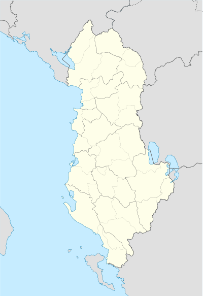
Mat, Albania
| Mat | ||
|---|---|---|
| Municipality | ||
|
Ulza Lake | ||
| ||
 Mat | ||
| Coordinates: 41°37′N 20°0′E / 41.617°N 20.000°ECoordinates: 41°37′N 20°0′E / 41.617°N 20.000°E | ||
| Country |
| |
| County | Dibër | |
| Government | ||
| • Mayor | Nezir Rizvani (DP) | |
| Area | ||
| • Municipality | 493.50 km2 (190.54 sq mi) | |
| Population (2011) | ||
| • Municipality | 27,600 | |
| • Municipality density | 56/km2 (140/sq mi) | |
| Time zone | CET (UTC+1) | |
| • Summer (DST) | CEST (UTC+2) | |
| Postal Code | 8001 | |
| Area Code | (0)217 | |
| Vehicle registration | AL | |
| Website | Official Website | |

Mat is a municipality in Dibër County, northern Albania. It was created in 2015 by the merger of the present municipalities Baz, Burrel, Derjan, Komsi, Lis, Macukull, Rukaj and Ulëz. The seat of the municipality is the town Burrel.[1] The total population is 27,600 (2011 census), in a total area of 493.50 km2.[2]

The municipality is located on the middle part of the Mat river's course. It encompasses the northern part of the former Mat District; the southern part is now part of Klos. The territory is largely composed of mountains and hills, which has only been opened up by National Road 6, which links the coastal town of Milot with Peshkopi.
The area is bounded by mountain ranges to the east and west. The Mat river is dammed in two locations in the area, forming Lake Ulzë and the smaller Lake Shkopeti. The municipality also contains the Zall Gjoçaj National Park.
King Zog of Albania's grandfather was from Mat.
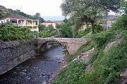
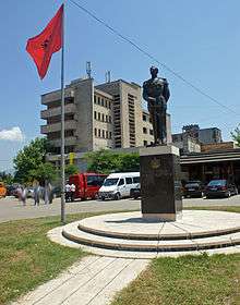
Gallery
|
References
Municipalities in Albania are administrative divisions made up of local administrative units and their inclusive villages. | ||
| (61) |
|  |
Administrative Divisions of Dibër County | ||
|---|---|---|
County Seat: Peshkopi | ||
| Municipality of Bulqizë |  | |
| Municipality of Dibër | ||
| Municipality of Klos | ||
| Municipality of Mat | ||
Subdivisions of Mat Municipality | ||
|---|---|---|
Municipal Seat: Burrel | ||
| Administrative Unit of Baz |
|  |
| Administrative Unit of Burrel | ||
| Administrative Unit of Derjan |
| |
| Administrative Unit of Komsi |
| |
| Administrative Unit of Lis | ||
| Administrative Unit of Macukull |
| |
| Administrative Unit of Rukaj |
| |
| Administrative Unit of Ulëz |
| |