McArthur River Airport
| McArthur River Airport | |||||||||||
|---|---|---|---|---|---|---|---|---|---|---|---|
| IATA: none – ICAO: none – TC LID: CKQ8 | |||||||||||
| Summary | |||||||||||
| Airport type | Private | ||||||||||
| Operator | Cameco Corporation | ||||||||||
| Location | McArthur River mine, Saskatchewan | ||||||||||
| Time zone | CST (UTC−06:00) | ||||||||||
| Elevation AMSL | 1,729 ft / 527 m | ||||||||||
| Coordinates | 57°46′03″N 105°01′27″W / 57.76750°N 105.02417°WCoordinates: 57°46′03″N 105°01′27″W / 57.76750°N 105.02417°W | ||||||||||
| Map | |||||||||||
 CKQ8 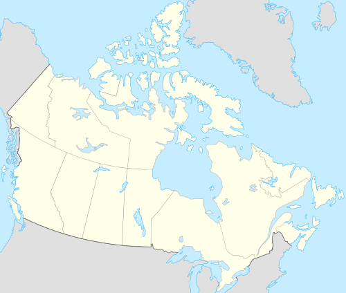 CKQ8 Location in Saskatchewan | |||||||||||
| Runways | |||||||||||
| |||||||||||
|
Sources: Canada Flight Supplement[1] | |||||||||||
McArthur River Airport, (TC LID: CKQ8), is located 1.5 nautical miles (2.8 km; 1.7 mi) east of the McArthur River mine, Saskatchewan, Canada.
References
- ↑ Canada Flight Supplement. Effective 0901Z 15 September 2016 to 0901Z 10 November 2016
| By name | |
|---|---|
| By location indicator | |
| By province/territory | |
| By region | |
| National Airports System | |
| Related | |
| |
This article is issued from Wikipedia - version of the 12/4/2016. The text is available under the Creative Commons Attribution/Share Alike but additional terms may apply for the media files.