Mouttagiaka
| Moutagiaka | |
|---|---|
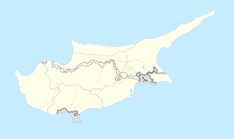 Moutagiaka Location in Cyprus | |
| Coordinates: 34°43′18″N 33°6′9″E / 34.72167°N 33.10250°ECoordinates: 34°43′18″N 33°6′9″E / 34.72167°N 33.10250°E | |
| Country |
|
| District | Limassol District |
| Population (2011)[1] | |
| • Total | 2,939 |
| Time zone | EET (UTC+2) |
| • Summer (DST) | EEST (UTC+3) |
Mouttagiakia (Greek: Μουτταγιάκα [locally [mutʰaˈʝakʰa]]; Turkish: Mutluyaka) is a village in the Limassol District of Cyprus, located east of Germasogeia. Prior to 1960, the village was almost exclusively inhabited by Turkish Cypriots. [2]
References
- ↑ "C1. POPULATION ENUMERATED BY SEX, AGE, DISTRICT, MUNICIPALITY/COMMUNITY AND QUARTER (1.10.2011)", Population - Place of Residence, 2011, Statistical Service of the Republic of Cyprus, 2014-04-17, retrieved 2014-04-20
- ↑ http://www.kypros-cyprus.com/maps/1960.jpg
This article is issued from Wikipedia - version of the 10/27/2014. The text is available under the Creative Commons Attribution/Share Alike but additional terms may apply for the media files.