Agios Athanasios, Cyprus
| Agios Athanasios Άγιος Αθανάσιος | |
|---|---|
|
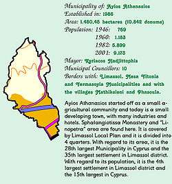
Concise presentation of Ayios Athanasios | |
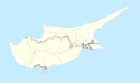
 Agios Athanasios Location in Cyprus | |
| Coordinates: 34°42′32″N 33°2′38″E / 34.70889°N 33.04389°ECoordinates: 34°42′32″N 33°2′38″E / 34.70889°N 33.04389°E | |
| Country |
|
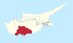
| District | Limassol District |
| Government | |
| • Mayor | Kyriakos Chatzittofi |
| Population (2011)[1] | |
| • Total | 14,341 |
| Time zone | EET (UTC+2) |
| • Summer (DST) | EEST (UTC+3) |
| Website | http://www.agiosathanasios.org.cy/ |
Agios Athanasios (Greek: Άγιος Αθανάσιος) is an independent municipality of Cyprus located in the Limassol District. Located 3km (1.86 mi) away from the district's capital, Limassol, and named after the Athanasius of Alexandria, it functions as a suburb of the city.
History
Agios Athanasios was originally founded as a minor agricultural settlement and followed a huge refugee immigration boom after the 1974 Turkish invasion. It is estimated that around 6,000 refugees are settled in the city. The municipality currently serves as the industrial area of the Limassol District.
Mayors
- 1986 - 1996: Phidias Diamantis
- 1996 - Present: Kyriakos Chatzittofi
References
| Wikimedia Commons has media related to Agios Athanasios, Cyprus. |
This article is issued from Wikipedia - version of the 6/22/2015. The text is available under the Creative Commons Attribution/Share Alike but additional terms may apply for the media files.

