Nareewillock
| Nareewillock Victoria | |||||||||||||
|---|---|---|---|---|---|---|---|---|---|---|---|---|---|
 Nareewillock | |||||||||||||
| Coordinates | 36°09′31″S 143°26′03″E / 36.15861°S 143.43417°ECoordinates: 36°09′31″S 143°26′03″E / 36.15861°S 143.43417°E | ||||||||||||
| Postcode(s) | 3525 | ||||||||||||
| Location | |||||||||||||
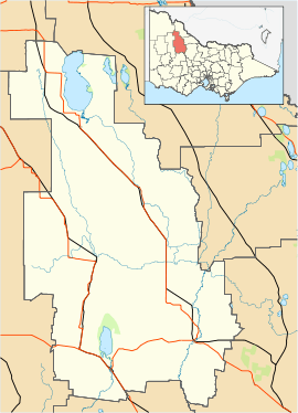
| LGA(s) | Shire of Buloke | ||||||||||||
| State electorate(s) | Mildura | ||||||||||||
| Federal Division(s) | Mallee | ||||||||||||
| |||||||||||||
Nareewillock is a locality in the Lower Avoca ward of the local government area of the Shire of Buloke, Victoria, Australia.[1]
The post office there opened as Narrewillock [sic] on 1 November 1881, closed on 1 July 1895, reopened in 1902, closed on 1 December 1919, reopened again on 1 January 1921 and was closed on 30 June 1942.[2]
References
- ↑ "VEC Locality Finder" (PDF). Retrieved 2012-04-02.
- ↑ Premier Postal History, Post Office List, retrieved 2008-04-11
This article is issued from Wikipedia - version of the 5/8/2016. The text is available under the Creative Commons Attribution/Share Alike but additional terms may apply for the media files.