Wangie, Victoria
| Wangie Victoria | |||||||||||||
|---|---|---|---|---|---|---|---|---|---|---|---|---|---|
 Wangie | |||||||||||||
| Coordinates | 35°41′58″S 143°16′59″E / 35.69944°S 143.28306°ECoordinates: 35°41′58″S 143°16′59″E / 35.69944°S 143.28306°E | ||||||||||||
| Postcode(s) | 3530 | ||||||||||||
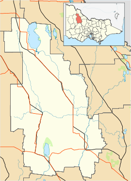
| LGA(s) | Shire of Buloke | ||||||||||||
| State electorate(s) | Mildura | ||||||||||||
| Federal Division(s) | Mallee | ||||||||||||
| |||||||||||||
Wangie is a town in the local government area of the Shire of Buloke, Victoria, Australia.[1]
References
- ↑ "Map of the Shire of Buloke" (PDF). Retrieved 2011-12-30.
This article is issued from Wikipedia - version of the 12/7/2014. The text is available under the Creative Commons Attribution/Share Alike but additional terms may apply for the media files.