Upper Miramichi, New Brunswick
Upper Miramichi (2011 population: 2,373[1]) is a Canadian rural community in Northumberland and York Counties, New Brunswick.
Upper Miramichi became a rural community on 17 March 2008,[2] having formerly been a local service district with the same name. The rural community includes sixteen neighbourhoods stretching between McGivney and the village of Doaktown including Astle, Big Hole Brook, Bloomfield Ridge, Boiestown, Carrolls Crossing, Hayesville, Holtville, Ludlow, McGivney, McNamee, Nelson Hollow, New Bandon, Parker’s Ridge, Porter Cove, Priceville, and Taxis River. The municipal offices are located in Boiestown.
Upper Miramichi
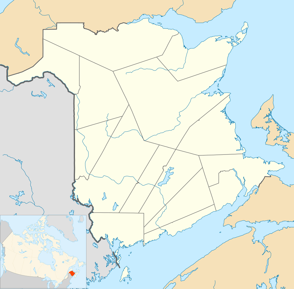
Location of Upper Miramichi in New Brunswick
History
See also: History of New Brunswick and List of historic places in Northumberland County, New Brunswick
Notable people
Main article: List of people from Northumberland County, New Brunswick
See also
References
- ↑ "Upper Miramichi, New Brunswick (Rural community)". Retrieved 2012-04-01.
- ↑ "Becoming a Rural Community". Retrieved 2011-11-09.
Coordinates: 46°31′31″N 66°12′31″W / 46.5254°N 66.2085°W
This article is issued from Wikipedia - version of the 1/18/2015. The text is available under the Creative Commons Attribution/Share Alike but additional terms may apply for the media files.