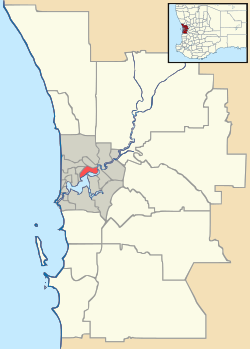
Oakford, Western Australia
| Oakford Perth, Western Australia | |||||||||||||
|---|---|---|---|---|---|---|---|---|---|---|---|---|---|
 Oakford | |||||||||||||
| Coordinates | 32°12′43″S 115°55′52″E / 32.212°S 115.931°ECoordinates: 32°12′43″S 115°55′52″E / 32.212°S 115.931°E | ||||||||||||
| Population | 2,137 (2006 census)[1] | ||||||||||||
| • Density | 45.57/km2 (118.01/sq mi) | ||||||||||||
| Postcode(s) | 6121 | ||||||||||||
| Area | 46.9 km2 (18.1 sq mi) | ||||||||||||
| Location | 36 km (22 mi) S of Perth | ||||||||||||
| LGA(s) | Shire of Serpentine-Jarrahdale | ||||||||||||
| State electorate(s) | Darling Range | ||||||||||||
| Federal Division(s) | Canning | ||||||||||||
| |||||||||||||
Oakford is an outer suburb of Perth, Western Australia, within the Shire of Serpentine-Jarrahdale. The suburb was named in 1982, taking its name from a townsite briefly declared in the area in 1926.[2]
References
- ↑ Australian Bureau of Statistics (25 October 2007). "Oakford (State Suburb)". 2006 Census QuickStats. Retrieved 2008-10-02.
- ↑ Western Australian Land Information Authority. "History of metropolitan suburb names – O". Retrieved 2007-06-15.
This article is issued from Wikipedia - version of the 3/2/2014. The text is available under the Creative Commons Attribution/Share Alike but additional terms may apply for the media files.