Oklahoma's 1st congressional district
| Oklahoma's 1st congressional district | |
|---|---|
|
Oklahoma's 1st congressional district - since January 3, 2013. | |
| Current Representative | Jim Bridenstine (R) |
| Distribution |
|
| Population (2010) | 754,310 |
| Ethnicity |
|
| Occupation | |
| Cook PVI | R+16[1] |
Oklahoma's First Congressional District is in the northeastern corner of the state and borders Kansas. It is largely coextensive with the Tulsa metropolitan area. It includes all of Tulsa County, Washington County, Wagoner County, and parts of Rogers County and Creek County. Although it has long been reckoned as the Tulsa district, a small portion of Tulsa itself is located in the 3rd District.
Principal cities in the district (other than Tulsa) include Bartlesville, Broken Arrow, Bixby, Jenks, Sand Springs, and Wagoner.
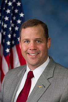
The district is represented by Republican Jim Bridenstine.
Demographics
According to U.S. Census data as of 2010, whites alone make up 67.1% of the population, Afro-Americans 9.0%, Native Americans at 6.6%, Hispanics at 9.8%, Asians at 2.1 and other races at 5.4%.
Results from recent statewide elections
| Year | Office | Results |
|---|---|---|
| 2000 | President | Bush 62% - 38% |
| 2004 | President | Bush 65% - 35% |
| 2008 | President | McCain 64% - 36% |
| 2012 | President | Romney 66% - 34% |
History
The district was the only Congressional district represented by a Republican upon statehood.[2] For much of the district's history, it has shifted back and forth between the two political parties. However, it has leaned increasingly Republican since the second half of the 20th century. Since 1945, only one Democrat has served more than one term in the district. It has been in Republican hands without interruption since 1987. Mitt Romney received 66 percent of the vote in this district in 2012.
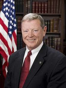
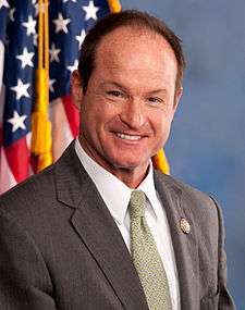
Oklahoma's current senior Senator, Jim Inhofe, represented this district from 1987 to 1994. His three successors, Steve Largent, John Sullivan and Jim Bridenstine, have all been Republicans.
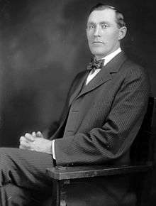
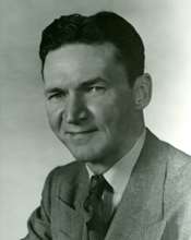
List of representatives
Historical district boundaries

See also
References
- ↑ "Partisan Voting Index Districts of the 113th Congress: 2004 & 2008" (PDF). The Cook Political Report. 2012. Retrieved 2013-01-10.
- ↑ Carney, George O., "McGuire, Bird Segle," Encyclopedia of Oklahoma History and Culture Archived May 31, 2010, at the Wayback Machine. (accessed May 28, 2010).
- Martis, Kenneth C. (1989). The Historical Atlas of Political Parties in the United States Congress. New York: Macmillan Publishing Company.
- Martis, Kenneth C. (1982). The Historical Atlas of United States Congressional Districts. New York: Macmillan Publishing Company.
- Congressional Biographical Directory of the United States 1774–present
Coordinates: 36°12′N 95°48′W / 36.2°N 95.8°W
.tif.png)
.jpg)

.jpg)


.jpg)

