Orgreave, Staffordshire
| Orgreave | |
 Orgreave Hall |
|
 Orgreave |
|
| OS grid reference | SK148161 |
|---|---|
| Civil parish | Alrewas |
| District | Lichfield |
| Shire county | Staffordshire |
| Region | West Midlands |
| Country | England |
| Sovereign state | United Kingdom |
| Post town | BURTON-ON-TRENT |
| Postcode district | DE13 |
| Dialling code | 01283 |
| Police | Staffordshire |
| Fire | Staffordshire |
| Ambulance | West Midlands |
| EU Parliament | West Midlands |
| UK Parliament | Lichfield[1] |
|
|
Coordinates: 52°44′32″N 1°46′56″W / 52.74233°N 1.78222°W
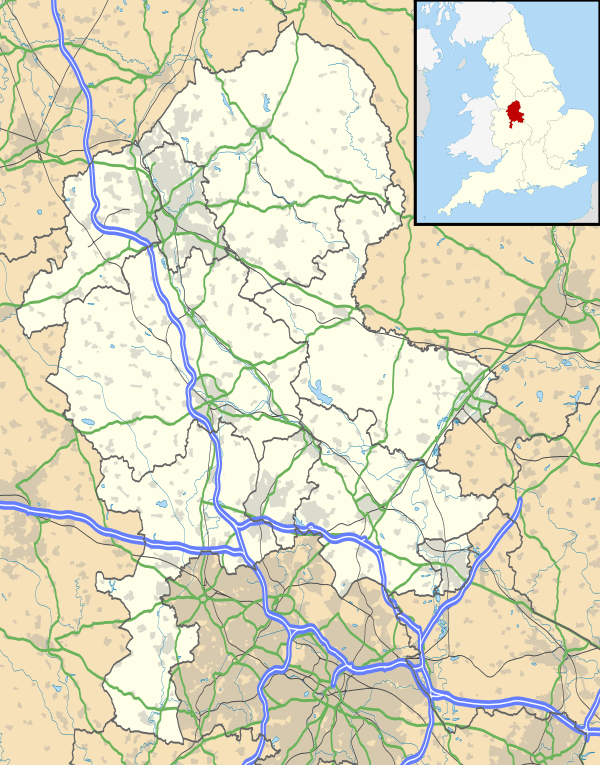
Orgreave is a hamlet in the English county of Staffordshire. It lies in the Trent Valley some 6 1⁄2 miles (10.5 km) north-east of the city of Lichfield, the A513 road runs to the south of the hamlet.
Historically Orgreave was a township of Alrewas and included the hamlet of Overley[2] which is located between them at grid reference SK160156. Orgreave remains in the civil parish of Alrewas which, in turn, forms part of Lichfield District; until 2009 it was in the parish of Alrewas and Fradley.[3]
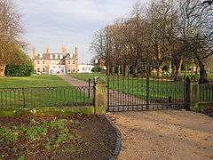
Orgreave Hall, formerly a seat of the Viscounts Anson, is a private home.
References
- ↑ "United Kingdom Parliament". Retrieved 18 September 2009.
- ↑ "GENUKI". Retrieved 21 September 2009.
- ↑ "Register of Electors 2009: Lichfield District (Parish Order)" (PDF). Retrieved 20 September 2009.
External links
- Map sources for Orgreave, Staffordshire
This article is issued from Wikipedia - version of the 10/20/2015. The text is available under the Creative Commons Attribution/Share Alike but additional terms may apply for the media files.