Paramakatoi
| Paramakatoi | |
|---|---|
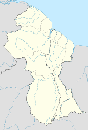 Paramakatoi Location in Guyana | |
| Coordinates: 4°43′N 59°42′W / 4.717°N 59.700°WCoordinates: 4°43′N 59°42′W / 4.717°N 59.700°W | |
| Country |
|
| Region | Potaro-Siparuni |
| Elevation | 3,180 ft (970 m) |
Paramakatoi is a community in the Potaro-Siparuni Region of Guyana, located at 4°43′0″N 59°42′0″W / 4.71667°N 59.70000°W, Altitude 970 metres. It is 11 miles east of Kurukabaru.
Paramakatoi functions as a regional centre for the catchment area. And is the largest and most developed of Amerindian communities in the region.
There is an airfield (Airport code PMT) at Paramakatoi.
External links
 Paramakatoi travel guide from Wikivoyage
This article is issued from Wikipedia - version of the 2/9/2016. The text is available under the Creative Commons Attribution/Share Alike but additional terms may apply for the media files.