Patensie
| Patensie | |
|---|---|
|
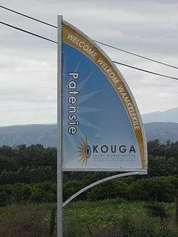
Signboard on the R331 outside Patensie | |
 Patensie  Patensie  Patensie
| |
| Coordinates: 33°45′32″S 24°48′53″E / 33.75889°S 24.81472°ECoordinates: 33°45′32″S 24°48′53″E / 33.75889°S 24.81472°E | |
| Country | South Africa |
| Province | Eastern Cape |
| District | Sarah Baartman |
| Municipality | Kouga |
| Established | 1858 [1] |
| Area[2] | |
| • Total | 6.23 km2 (2.41 sq mi) |
| Population (2011)[2] | |
| • Total | 5,263 |
| • Density | 840/km2 (2,200/sq mi) |
| Racial makeup (2011)[2] | |
| • Black African | 39.7% |
| • Coloured | 50.2% |
| • Indian/Asian | 0.2% |
| • White | 8.0% |
| • Other | 1.9% |
| First languages (2011)[2] | |
| • Afrikaans | 70.0% |
| • Xhosa | 24.9% |
| • English | 1.4% |
| • Other | 3.7% |
| Postal code (street) | 6335 |
| PO box | 6335 |
| Area code | 042 |
Patensie is a town in Sarah Baartman District Municipality in the Eastern Cape province of South Africa. Patensie lies along the R331 road just south of Noorshoek. The Kouga Dam is located several kilometres to the west. The name is Khoi in origin, and means "cattle resting place".[3] The town is a centre for the citrus, tobacco, and vegetable farms in the area.[3]
References
- ↑ "Patensie". Gamtoos Tourism. Retrieved 25 February 2012.
- 1 2 3 4 "Main Place Patensie". Census 2011.
- 1 2 "Cacadu Region". Revealed.co.za. Retrieved 28 August 2014.
External links
| Wikivoyage has a travel guide for Patensie. |
| Wikimedia Commons has media related to Patensie. |
Municipalities and communities of Sarah Baartman District Municipality, Eastern Cape | ||
|---|---|---|
District seat: Port Elizabeth | ||
| Blue Crane Route | .svg.png) | |
| Dr Beyers Naudé | ||
| Kouga | ||
| Kou-Kamma | ||
| Makana | ||
| Ndlambe | ||
| Sunday's River Valley | ||
This article is issued from Wikipedia - version of the 10/16/2016. The text is available under the Creative Commons Attribution/Share Alike but additional terms may apply for the media files.