Pel Maoudé
| Pel Maoudé | |
|---|---|
| Commune and village | |
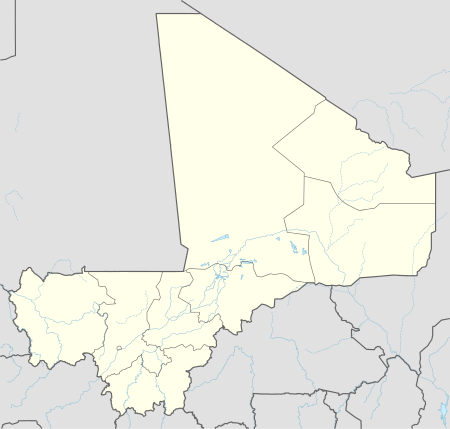 Pel Maoudé Location in Mali | |
| Coordinates: 14°5′13″N 3°16′15″W / 14.08694°N 3.27083°WCoordinates: 14°5′13″N 3°16′15″W / 14.08694°N 3.27083°W | |
| Country |
|
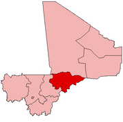
| Region | Mopti Region |
| Cercle | Koro Cercle |
| Area[1] | |
| • Total | 203 km2 (78 sq mi) |
| Population (2009 census)[2] | |
| • Total | 13,727 |
| • Density | 68/km2 (180/sq mi) |
| Time zone | GMT (UTC+0) |
Pel Maoudé is a village and rural commune and seat of the Cercle of Koro in the Mopti Region of Mali. The commune covers an area of approximately 203 square kilometers and includes 9 villages.[3] In the 2009 census the commune had a population of 13,727.[2]
Some typical cultivated plants are millet, peanut, black-eyed pea, fonio and Sesame.
References
- ↑ "Common and Fundamental Operational Datasets Registry: Mali", United Nations Office for the Coordination of Humanitarian Affairs http://cod.humanitarianresponse.info/country-region/mali Missing or empty
|title=(help). commune_mali.zip (Originally from the Direction Nationale des Collectivités Territoriales, République du Mali) - 1 2 Resultats Provisoires RGPH 2009 (Région de Mopti) (PDF) (in French), République de Mali: Institut National de la Statistique.
- ↑ Communes de la Région de Mopti (PDF) (in French), Ministère de l’administration territoriale et des collectivités locales, République du Mali.
External links
- Plan de Sécurité Alimentaire Commune Rurale de Pel-Maoudé 2006-2010 (PDF) (in French), Commissariat à la Sécurité Alimentaire, République du Mali, USAID-Mali, 2006.
This article is issued from Wikipedia - version of the 11/23/2014. The text is available under the Creative Commons Attribution/Share Alike but additional terms may apply for the media files.