Pennfield, New Brunswick
| Pennfield | |
|---|---|
| Unincorporated community | |
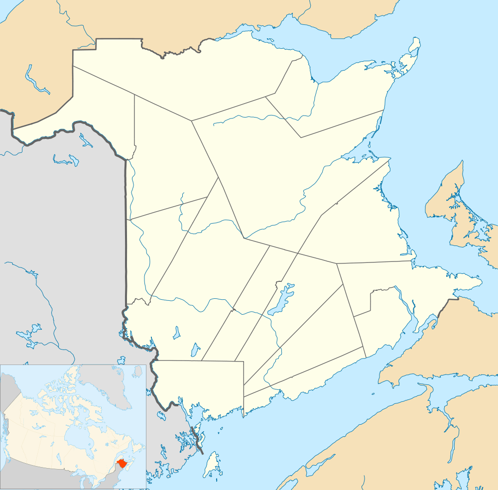 Pennfield Location within New Brunswick. | |
| Coordinates: 45°06′06″N 66°44′20″W / 45.10167°N 66.73889°WCoordinates: 45°06′06″N 66°44′20″W / 45.10167°N 66.73889°W | |
| Country |
|
| Province |
|
| County | Charlotte |
| Parish | Pennfield |
| Electoral Districts Federal |
New Brunswick Southwest |
| Provincial | Charlotte-The Isles |
| Government | |
| • Type | Local service district |
| Time zone | AST (UTC-4) |
| • Summer (DST) | ADT (UTC-3) |
| Postal code(s) | E5H |
| Area code(s) | 506 |
| Highways |
|
Pennfield is a Canadian rural community in Charlotte County, New Brunswick. Pennfield is also referred to sometimes as Pennfield Corner. Pennfield intersects with Route 1, Route 175, Route 176, Route 778, and Route 785.
History
In 1783 several hundred members of The Religious Society of Friends moved from the newly founded United States of America to Pennfield as a result of The American Revolution.
During the summer of 1940, and as part of the British Commonwealth Air Training Plan, an airport was constructed to train pilots for World War II action. The Royal Canadian Air Force allowed the Royal Canadian Navy to use their equipment for High Frequency Direction Finding activities against German submarines in the Atlantic.
In October 2012, Pennfield had a major route change when Route 1 opened as part of the Route 1 Gateway Project.[1]
Education
Pennfield has one elementary school, Pennfield Elementary.[2]
Climate
This climatic region is typified by large seasonal temperature differences, with warm to hot (and often humid) summers and cold (sometimes severely cold) winters. According to the Köppen Climate Classification system, Pennfield has a humid continental climate, abbreviated "Dfb" on climate maps.[3]
| Climate data for Pennfield, New Brunswick (1981−2010) | |||||||||||||
|---|---|---|---|---|---|---|---|---|---|---|---|---|---|
| Month | Jan | Feb | Mar | Apr | May | Jun | Jul | Aug | Sep | Oct | Nov | Dec | Year |
| Record high °C (°F) | 14.4 (57.9) |
14.5 (58.1) |
19.5 (67.1) |
23.0 (73.4) |
37.2 (99) |
33.5 (92.3) |
34.4 (93.9) |
36.7 (98.1) |
34.0 (93.2) |
25.0 (77) |
18.5 (65.3) |
16.5 (61.7) |
37.2 (99) |
| Average high °C (°F) | −1.9 (28.6) |
0.0 (32) |
3.4 (38.1) |
9.0 (48.2) |
14.3 (57.7) |
18.5 (65.3) |
21.1 (70) |
21.3 (70.3) |
18.1 (64.6) |
12.8 (55) |
7.0 (44.6) |
1.4 (34.5) |
10.4 (50.7) |
| Daily mean °C (°F) | −7.1 (19.2) |
−5.5 (22.1) |
−1.5 (29.3) |
4.0 (39.2) |
8.7 (47.7) |
12.8 (55) |
15.6 (60.1) |
15.6 (60.1) |
12.4 (54.3) |
7.6 (45.7) |
2.7 (36.9) |
−3.4 (25.9) |
5.2 (41.4) |
| Average low °C (°F) | −12.3 (9.9) |
−10.9 (12.4) |
−6.3 (20.7) |
−1.0 (30.2) |
3.1 (37.6) |
7.0 (44.6) |
10.0 (50) |
10.0 (50) |
6.8 (44.2) |
2.4 (36.3) |
−1.6 (29.1) |
−8.2 (17.2) |
−0.1 (31.8) |
| Record low °C (°F) | −36.5 (−33.7) |
−31 (−24) |
−28.5 (−19.3) |
−14 (7) |
−7.8 (18) |
−2.2 (28) |
2.2 (36) |
−0.5 (31.1) |
−5.0 (23) |
−9 (16) |
−18.3 (−0.9) |
−35.5 (−31.9) |
−36.5 (−33.7) |
| Average precipitation mm (inches) | 126.6 (4.984) |
101.3 (3.988) |
130.1 (5.122) |
116.0 (4.567) |
130.2 (5.126) |
111.0 (4.37) |
107.3 (4.224) |
98.0 (3.858) |
120.9 (4.76) |
115.8 (4.559) |
140.4 (5.528) |
132.0 (5.197) |
1,429.7 (56.287) |
| Average rainfall mm (inches) | 73.1 (2.878) |
60.6 (2.386) |
84.9 (3.343) |
105.8 (4.165) |
130.2 (5.126) |
111.0 (4.37) |
107.3 (4.224) |
98.0 (3.858) |
120.9 (4.76) |
115.8 (4.559) |
132.2 (5.205) |
97.9 (3.854) |
1,237.7 (48.728) |
| Average snowfall cm (inches) | 53.5 (21.06) |
40.7 (16.02) |
45.2 (17.8) |
10.3 (4.06) |
0.0 (0) |
0.0 (0) |
0.0 (0) |
0.0 (0) |
0.0 (0) |
0.1 (0.04) |
8.3 (3.27) |
34.1 (13.43) |
192.0 (75.59) |
| Average precipitation days (≥ 0.2 mm) | 11.9 | 10.8 | 13.9 | 16.5 | 18.8 | 18.1 | 18.1 | 17.7 | 16.9 | 16.9 | 16.1 | 13.8 | 189.5 |
| Average rainy days (≥ 0.2 mm) | 7.2 | 6.3 | 10.5 | 15.7 | 18.8 | 18.1 | 18.1 | 17.7 | 16.9 | 16.9 | 15.1 | 9.7 | 171.1 |
| Average snowy days (≥ 0.2 cm) | 7.1 | 5.9 | 5.2 | 1.8 | 0.0 | 0.0 | 0.0 | 0.0 | 0.0 | 0.05 | 1.5 | 5.5 | 27.0 |
| Source: Environment Canada[4] | |||||||||||||
Notable people
See also
References
- ↑ New Brunswick Route 1 Gateway Project, Government of Canada.
- ↑ Pennfield elementary, school Website.
- ↑ Climate Summary for Pennfield, New Brunswick
- ↑ "Pennfield, new Brunswick". Canadian Climate Normals 1981–2010. Environment Canada. Retrieved 31 March 2015.
 |
Utopia | | ||
| Upper Letang | |
Pennfield Ridge | ||
| ||||
| | ||||
| Justasons Corner | Beaver Harbour |
| Subdivisions | |
|---|---|
| Cities | |
| |