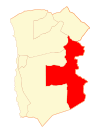
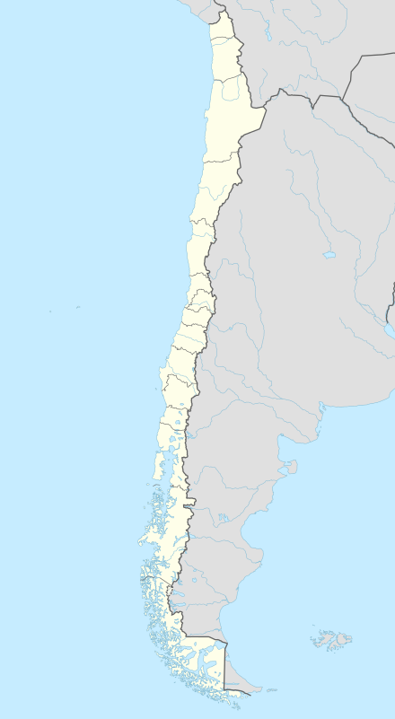
Pica, Chile
| Pica | ||||
|---|---|---|---|---|
| Town and Commune | ||||
|
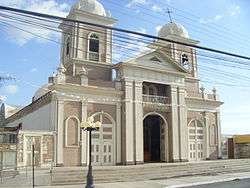
Iglesia San Andres (Saint Andrew Church) | ||||
| ||||
| Coordinates: 20°29′21″S 69°19′46″W / 20.48917°S 69.32944°WCoordinates: 20°29′21″S 69°19′46″W / 20.48917°S 69.32944°W | ||||
| Country |
| |||
| Region |
| |||
| Province | Tamarugal | |||
| Government[1] | ||||
| • Type | Municipal council | |||
| Area[2] | ||||
| • Total | 8,934.3 km2 (3,449.6 sq mi) | |||
| Elevation | 1,106 m (3,629 ft) | |||
| Population (2012 Census)[2] | ||||
| • Total | 4,013 | |||
| • Density | 0.45/km2 (1.2/sq mi) | |||
| • Urban | 4,674 | |||
| • Rural | 1,504 | |||
| Sex[2] | ||||
| • Men | 4,569 | |||
| • Women | 1,609 | |||
| Time zone | CLT [3] (UTC-4) | |||
| • Summer (DST) | CLST [4] (UTC-3) | |||
| Area code(s) | (+56) 5 | |||
| Website |
www | |||
Pica is a Chilean town and commune in Tamarugal Province, Tarapacá Region. Situated in the inland of the Atacama Desert on an oasis, Pica is famous for its small and unusually acidic lemons. The town has a communal spring with a surface temperature of 40 °C, which makes it a popular bath place in the middle of the desert. It has hotels and all basic services.
Demographics
According to the 2002 census of the National Statistics Institute, Pica has an area of 8,934.3 km (5,552 mi) and 6,178 inhabitants (4,569 men and 1,609 women). Of these, 4,674 (75.7%) lived in urban areas and 1,504 (24.3%) in rural areas. The population grew by 45.9% (3,666 persons) between the 1992 and 2002 censuses.[2]
Administration
As a commune, Pica is a third-level administrative division of Chile administered by a municipal council, headed by an alcalde who is directly elected every four years.
Within the electoral divisions of Chile, Pica is represented in the Chamber of Deputies by Mrs. Marta Isasi (Ind.) and Mr. Hugo Gutiérrez (PC) as part of the 2nd electoral district, which includes the entire Tarapacá Region.The commune is represented in the Senate by Fulvio Rossi Ciocca (PS) and Jaime Orpis Bouchon (UDI) as part of the 1st senatorial constituency (Arica and Parinacota Region and Tarapacá Region).
References
- ↑ "Municipality of Pica" (in Spanish). Retrieved 3 November 2010.
- 1 2 3 4 "National Statistics Institute" (in Spanish). Retrieved 1 November 2010.
- ↑ "Chile Time". WorldTimeZones.org. Retrieved 9 September 2010.
- ↑ "Chile Summer Time". WorldTimeZones.org. Retrieved 9 September 2010.
External links
- (Spanish) Municipality of Pica
