Port Liberté, Jersey City

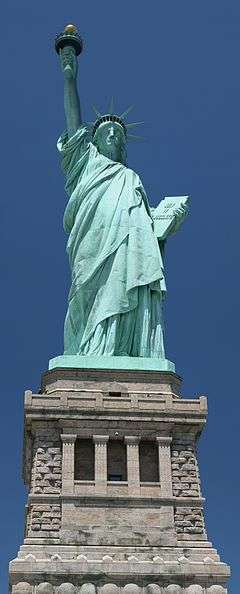
Port Liberté is a section of Jersey City located on Caven Point, formerly one of the last natural sand beaches on the Upper New York Bay.[1] The community is a European style village located along the western side of Upper New York Bay. The community has canals, gardens, playgrounds, and a restaurant. The many luxury condominiums and townhouses offer views of Manhattan and the Statue of Liberty. In addition, many of the residences have canals on the back making the village perfect for boating. Many of the canals are also lined with walkways, gardens, and docks. The Liberty National Golf Club and the Caven Point section of Liberty State Park neighbor the development on the north and east respectively, and are accessible via the Hudson River Waterfront Walkway.
Transportation
NY Waterway-operated ferries travel to Pier 11 at Wall Street in Manhattan.[2]

The 981 Port Liberte-Grove Street bus used to serve the area before it was discontinued on May 29, 2010. The development owners have expanded their own shuttle service in response.[3][4]
History
The site of Port Liberté was used for a house from the Revolutionary War. The new set of real estate was designed by François Spoerry, a French architect, who invented the concept of "soft architecture", that would prefigure new urbanism. He developed the concept at Port Grimaud, a waterfront project in Saint-Tropez, France, and attested to adapt it at Port Liberté.
Commenced in the 1980s, this European-style mixed-use complex planned for 2,280 residential units, a 245-boat slip marina, 590 canal boat slips, 350-room hotel, a 46,000-square-foot (4,300 m2) office building, retail/commercial spaces recreation facilities, a health club and a yacht club. However, the complexity of the design, the costly canal engineering and the collapse of Wall Street in the late 1980s drove the project to bankruptcy. Only 37 town homes and 363 of the planned residential units are completed. Joseph Barry of the Applied Company based at Hoboken, New Jersey took it over, abandoned the canal plan and completed Phase 1 and Phase 2 of construction in early 2000s.[5]
References
- ↑ http://nsgl.gso.uri.edu/tcs/tcsw92001/tcsw92001j.pdf
- ↑ Ferry Schedule
- ↑ "Century 21 Viewpoint Realty". portliberte.com. Retrieved 23 June 2015.
- ↑ http://portliberte.biz/Shuttle_Schedule.pdf
- ↑ LinX Development: "PORT LIBERTE" retrieved July 22, 2014
External links
- Port Liberte on Facebook offers insights and facts about the community's past and present.
- (Official Developer Site)
- http://www.njcu.edu/programs/jchistory/Pages/H_Pages/Hancock_House.htm
Coordinates: 40°41′08″N 74°04′18″W / 40.685649°N 74.07154°W
