Porte de Montreuil (Paris Métro)
| Paris Métro station | |||||||||||
|
| |||||||||||
| Location |
20th arrondissement of Paris Île-de-France France | ||||||||||
| Coordinates | 48°51′14″N 2°24′44″E / 48.853792°N 2.412245°ECoordinates: 48°51′14″N 2°24′44″E / 48.853792°N 2.412245°E | ||||||||||
| Owned by | RATP | ||||||||||
| Operated by | RATP | ||||||||||
| Other information | |||||||||||
| Fare zone | 1 | ||||||||||
| History | |||||||||||
| Opened | 10 December 1933 | ||||||||||
| Services | |||||||||||
| |||||||||||
| Location | |||||||||||
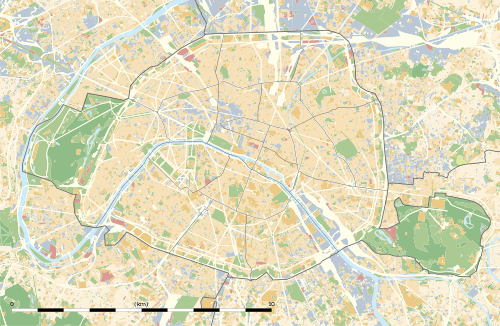
 Porte de Montreuil Location within Paris | |||||||||||
Porte de Montreuil is a station on line 9 of the Paris Métro. The station has four tracks, two of which are sidings, and is quite impressive in scale. It is named after the Porte de Montreuil, a gate in the nineteenth century Thiers wall of Paris, which led to the town of Montreuil. Flea markets are held on the glacis (the sloping bank in front of a wall) of the fortifications.
The station was opened on 10 December 1933 with the extension of the line from Richelieu - Drouot. It was the eastern terminus of the line until the extension of the line to Mairie de Montreuil on 14 October 1937.
An interchange with Paris tramway Line 3b opened on 15 December 2012.
Station layout
| Street Level |
| B1 | Mezzanine |
| Line 9 platforms | Westbound | ← |
| Westbound | ← | |
| Eastbound | | |
| Eastbound | | |
| Wikimedia Commons has media related to Porte de Montreuil (Paris Metro). |
References
- Roland, Gérard (2003). Stations de métro. D’Abbesses à Wagram. Éditions Bonneton.
This article is issued from Wikipedia - version of the 11/18/2016. The text is available under the Creative Commons Attribution/Share Alike but additional terms may apply for the media files.