Saint-Philippe du Roule (Paris Métro)
| Paris Métro station | |||||||||||
|
| |||||||||||
| Location |
8th arrondissement of Paris Île-de-France France | ||||||||||
| Coordinates | 48°52′19″N 2°18′36″E / 48.871941°N 2.310036°ECoordinates: 48°52′19″N 2°18′36″E / 48.871941°N 2.310036°E | ||||||||||
| Owned by | RATP | ||||||||||
| Operated by | RATP | ||||||||||
| Other information | |||||||||||
| Fare zone | 1 | ||||||||||
| History | |||||||||||
| Opened | 27 May 1923 | ||||||||||
| Services | |||||||||||
| |||||||||||
| Location | |||||||||||
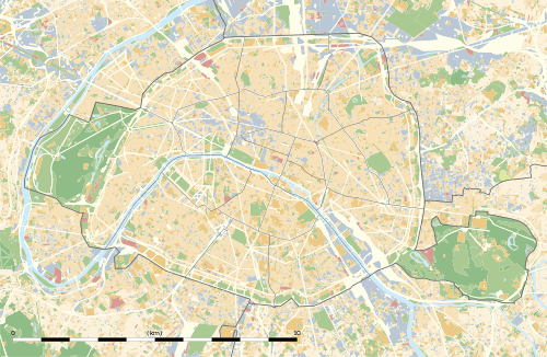
 Saint-Philippe du Roule Location within Paris | |||||||||||
Saint-Philippe du Roule is a station on line 9 of the Paris Métro. The station opened on 27 May 1923 with the extension of the line from Trocadéro to Saint-Augustin. The village of Roule, which became a suburb in 1722, was a small locality called Romiliacum by Frédégaire, Crioilum by Saint Eligius, then Rolus in the 12th century.
Nearby
North of the station is the fashionable street of Rue du Faubourg Saint-Honoré and the church of Saint-Philippe du Roule. A chapel was established in the district of Bas-Roule, near a leprosarium. It was replaced by a more important church, which was built by Jean Chalgrin between 1774 and 1784. The church of Saint-Philippe du Roule was built in the style of a Greco-Roman basilica. It was enlarged by Godde in 1845 and Victor Baltard in 1860. Its pediment, representing Religion and its attributes, is by François-Joseph Duret.
Station layout
| G | Street Level | Exit/Entrance |
| B1 | Mezzanine | Fare control |
| B2 | ||
| Westbound | ← | |
| Eastbound | | |
Gallery
- Street-level entrance at Saint-Philippe du Roule
 Passage Saint-Philippe-du-Roule
| Wikimedia Commons has media related to Saint-Philippe du Roule (Paris Metro). |
References
- Roland, Gérard (2003). Stations de métro. D’Abbesses à Wagram. Éditions Bonneton.