Razapur
| Razapur | |
|---|---|
| Village | |
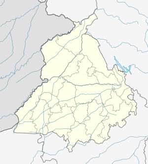 Razapur  Razapur Location in Punjab, India | |
| Coordinates: 31°20′18″N 75°23′34″E / 31.338355°N 75.392684°ECoordinates: 31°20′18″N 75°23′34″E / 31.338355°N 75.392684°E | |
| Country |
|
| State | Punjab |
| District | Kapurthala |
| Government | |
| • Type | Panchayati raj (India) |
| • Body | Gram panchayat |
| Population (2011) | |
| • Total | 1,627[1] |
| Sex ratio 862/765♂/♀ | |
| Languages | |
| • Official | Punjabi |
| • Other spoken | Hindi |
| Time zone | IST (UTC+5:30) |
| PIN | 144601 |
| Telephone code | 01822 |
| ISO 3166 code | IN-PB |
| Vehicle registration | PB-09 |
| Website |
kapurthala |
Razapur is a village in Kapurthala district of Punjab State, India. It is located 1 kilometre (0.62 mi) from Kapurthala, which is both district and sub-district headquarters of Razapur. The village is administrated by a sarpanch, an elected representative of the village.[2]
Kapurthala, Dhilwan, Sultanpur Lodhi, Jalandhar – West are the nearest taluks and Kapurthala, Jalandhar, Tarn Taran and Hoshiarpur are the nearby District Headquarters to the village.
Transport
Bibri, Dhaliwal Dona, Jhal Bibri, Saidowal, Kapurthala are the nearby Villages and Kapurthala, Kartarpur, Jalandhar Cantt., Jalandhar are the nearby Cities to Razapur.
Train
Kapurthala Railway station, Rail Coach Factory Railway station are the very nearby railway stations to Razapur, however Jalandhar City Railway station is major railway station is 23 km away from Razapur village.
Air
Raja Sansi airport:- 75 km, Pathankot airport:- 112 km, Ludhiana airport:- 74 km and Gaggal airport:- 152 km nearest airports are available to Razapur village.
Schools
- Government High School, Razapur,
Colleges
- College Of Engineering & Management, Kapurthala.
- Guru Nanak College Of Education For Women, Kapurthala.
- NSJA Government College, Kapurthala.
- CAPARO P.T.U.School Of Manufacturing And Materials Technology, Kapurthala.
Villages in Kapurthala
References
- ↑ "sangowal Population per Census 2011". census2011.co.in.
- ↑ "About the village". onefivenine.com.