Rosevine
| Rosevine | |
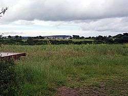 A view across fields towards Rosevine |
|
 Rosevine |
|
| OS grid reference | SW879363 |
|---|---|
| Unitary authority | Cornwall |
| Ceremonial county | Cornwall |
| Region | South West |
| Country | England |
| Sovereign state | United Kingdom |
| EU Parliament | South West England |
Coordinates: 50°11′20″N 4°58′23″W / 50.189°N 4.973°W
Rosevine is a farm in the parish of Gerrans in Cornwall, England.[1]
See also
References
Cornwall Portal | |
| Unitary authorities | |
| Major settlements |
|
| Rivers | |
| Topics | |
This article is issued from Wikipedia - version of the 3/2/2016. The text is available under the Creative Commons Attribution/Share Alike but additional terms may apply for the media files.