São Lourenço River (Mato Grosso)
| São Lourenço River | |
|---|---|
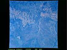 Aerial view of the São Lourenço River in the Pantanal | |
 São Lourenço River (Mato Grosso) (Brazil) | |
| Native name | Rio São Lourenço |
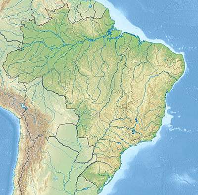
| Country | Brazil |
| Basin | |
| Main source | Mato Grosso state |
| River mouth |
Paraguay River 17°54′05″S 57°27′33″W / 17.901257°S 57.459036°WCoordinates: 17°54′05″S 57°27′33″W / 17.901257°S 57.459036°W |
| River system | Paraguay River |
| Features | |
| Tributaries |
|
The São Lourenço River is a tributary of the Paraguay River within the Pantanal, an alluvial plain that spans portions of Brazil, Bolivia and Paraguay.[1] The São Lourenço river basin lies in the Mato Grosso state of Brazil.[2]
Course
The São Lourenço River rises in the south of Mato Grosso, and is sometimes called the Pingara River in its upper reaches.[3] It flows west into the Encontro das Águas State Park, where it is joined by the Cuiabá River. The São Lourenço continues southwest across the park, then defines the west border of the southern part of the park. The park is bounded to the south by the Piquiri River, which defines the border with the state of Mato Grosso do Sul. The Piquiri flows west to join the São Lourenço at the southwest boundary of the park.[4] The São Lourenço continues in a southwest direction along the border between Mato Grosso and Mato Grosso do Sul until it joins the Paraguay River.[3] It forms part of the southern boundary of the Pantanal Matogrossense National Park just before joining the Paraguay.[5]

See also
References
- ↑ Swarts 2000.
- ↑ Nature Conservancy Staff 2007.
- 1 2 Mapa Geológico do Estado de Mato Grosso – CPRM.
- ↑ PES Encontro das Águas – ISA, Informações gerais (mapa).
- ↑ PARNA do Pantanal Mato-Grossense – ISA, Informações gerais (mapa).
Sources
- Mapa Geológico do Estado de Mato Grosso (PDF), CPRM, retrieved 2016-08-02
- Nature Conservancy Staff (2007), New Agreement to Protect the Pantanal, The Nature Conservancy, archived from the original on 2007-11-12, retrieved 2007-11-26
- PARNA do Pantanal Mato-Grossense (in Portuguese), ISA: Instituto Socioambiental, retrieved 2016-08-02
- PES Encontro das Águas (in Portuguese), ISA: Instituto Socioambiental, retrieved 2016-08-02
- Swarts, Frederick (2000), Pantanal, Waterland Research Institute, retrieved 2007-11-26