San Martín de Trevejo
| San Martín de Trevejo, Spain | |||
|---|---|---|---|
| municipality | |||
| |||
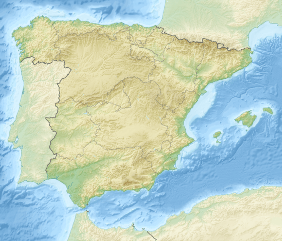
 San Martín de Trevejo within Spain | |||
| Coordinates: ES 40°13′N 6°48′W / 40.217°N 6.800°WCoordinates: ES 40°13′N 6°48′W / 40.217°N 6.800°W | |||
| Country | Spain | ||
| Autonomous community | Extremadura | ||
| Province | Cáceres | ||
| Municipality | San Martín de Trevejo | ||
| Government | |||
| • Alcalde | Máximo Gaspar Carretero (PSOE) | ||
| Area | |||
| • Total | 23.82 km2 (9.20 sq mi) | ||
| Elevation | 796 m (2,612 ft) | ||
| Population (2008) | |||
| • Total | 926 | ||
| • Density | 38.9/km2 (101/sq mi) | ||
| Time zone | CET (UTC+1) | ||
| • Summer (DST) | CEST (UTC+2) | ||
San Martín de Trevejo (Fala: Sa Martín de Trevellu) is a municipality (municipio) located in the province of Cáceres, Extremadura, Spain. According to the 2008 census (INE), the municipality has 926 inhabitants.
The local linguistic variety is the Fala language, different from both Spanish and Portuguese, but closer to the second.
Apartments in the area
See also
External links
This article is issued from Wikipedia - version of the 7/20/2016. The text is available under the Creative Commons Attribution/Share Alike but additional terms may apply for the media files.

