Sandy Point, Victoria
| Sandy Point Victoria | |
|---|---|
 Sandy Point | |
| Coordinates | 38°49′S 146°06′E / 38.817°S 146.100°ECoordinates: 38°49′S 146°06′E / 38.817°S 146.100°E |
| Population | 227 (2006 census)[1] |
| Postcode(s) | 3959 |
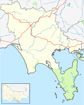
| Location | |
| LGA(s) | South Gippsland Shire |
| State electorate(s) | Gippsland South |
| Federal Division(s) | McMillan |
Sandy Point is a township in south Gippsland, Victoria near Wilsons Promontory. At the 2006 census, Sandy Point had a population of 227, growing to several thousand during the holiday period.[1] It is surrounded by areas of significant natural heritage.
Sandy Point is one of the few coastal towns in this region to remain relatively unaffected by the housing boom along the coast. This is partly due to its distance from Melbourne (around 2 hours) and the fact that a lack of town sewerage has meant a ban on further sub-division.
History
The Bratowooloong people of the Gunai nation lived in the area before European settlement. The first Europeans to visit the area were three shipwrecked sailors in 1797. Irish convicts escaped south from Sydney and landed on Seal Island where several men were stranded and found by George Bass who put them ashore near Shallow Inlet to walk back to Sydney. No more was ever heard of them.
Sealers and whalers visited the area in the first half of the nineteenth century. However, it wasn't until the 1860s that the area was settled by cattle farmers. The arrival of the Gippsland Railway improved the viability of local farms and made dairy farming in the area. The Post Office opened on 2 September 1926, and was closed in 1994.[2]
The development of the town as a tourist location started in earnest in the 1960s but has been restricted by its natural heritage values.
Surrounding areas
The Sandy Point area has a large spit system and its shoreline, on Waratah Bay, is considered of high heritage value. Sandy Point's surf beach is patrolled during the summer months and is considered good for surfing. The beach on Waratah Bay is 18 kilometres (11 mi) long, running between Walkerville at its northwestern end and Wilsons Promontory at its southeastern end.
3 kilometres east of Sandy Point lies a river inlet known as Shallow Inlet. This sandy, tidal inlet is a popular fishing spot and a popular area for windsurfing and kitesurfing. A speed sailing record was set here by the Yellow Pages Endeavour in 1993.[3]
On 13 December 2005, an attempt to reclaim this record failed when the craft operated by the Macquarie Speed Sailing team suffered a structural failure.

Natural habitats
The area near Sandy Point contains a diverse range of habitats including mangroves, extensive stands of coastal heathland as well as remnant coastal grassy forest. It features a wide range of invertebrate species. There are large populations of white-footed dunnarts and koalas living in the region.
Until 10,000 years ago, Sandy Point was an underwater slope leading to plains now lying underneath Bass Strait.
External links
- Federal Department of Environment and Heritage Victorian heritage places
- Register of the National Estate, Australian Heritage Commission, retrieved through Macquarie.net, 28 October 2005
- Visit Victoria Gippsland attractions
- Shallow Inlet
- Sandy Point history
- Shallow Inlet Reference Material
- Sandy Point Community Group
- Sandy Point Surfcam
References
- 1 2 Australian Bureau of Statistics (25 October 2007). "Sandy Point (State Suburb)". 2006 Census QuickStats. Retrieved 2007-08-07.
- ↑ Premier Postal History, Post Office List, retrieved 2008-04-11
- ↑ World Speed Sailing Records