Santana, Amapá
| Santana | |||
|---|---|---|---|
| Municipality | |||
| The Municipality of Santana | |||
|
Santana Harbor | |||
| |||
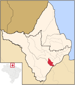 Location of Santana in the State of Amapá | |||
| Coordinates: 00°02′06″S 51°51′10″W / 0.03500°S 51.85278°WCoordinates: 00°02′06″S 51°51′10″W / 0.03500°S 51.85278°W | |||
| Country |
| ||
| Region | North | ||
| State |
| ||
| Founded | February 4, 1758 | ||
| Government | |||
| • Mayor | Robson Rocha (PTB) | ||
| Area | |||
| • Total | 1,577.517 km2 (609.083 sq mi) | ||
| Elevation | 5 m (15 ft) | ||
| Population (2012) | |||
| • Total | 104,407 | ||
| • Density | 66/km2 (170/sq mi) | ||
| [1] | |||
| Time zone | UTC-3 (UTC-3) | ||
| HDI (2000) | 0.742 – medium[2] | ||
| Website | laranjaldojari.ap.gov.br | ||


Santana is a municipality located in the southeast of the state of Amapá in Brazil. Its population is 98,600 and its area is 1,578 square kilometres (609 square miles), which makes it the smallest municipality of Amapá. Santana is a suburb of Macapá, the state capital, and the two cities make up the Metropolitan Area of Macapá. Its location is nearly on the equator. The planet's second longest river, the Amazon is to the south.[1][3]
Santana was historically a part of Macapá. In 1981 it was elevated to the category of a District of Macapá. It became a separate municipality in the state of Amapá on January 1, 1982.[3]
Geography
Neighbouring municipalities
- Macapá, north and east
- Mazagão, southwest
- Porto Grande, northwest
Districts
In 2001 Santana was officially divided into six districts.
- Santana
- Anauerapucu
- Igarapé do Lago
- Ilha de Santana
- Piaçacá
- Pirativa[3]
Sports
Independente Esporte Clube and Santana Esporte Clube are the football clubs based in the city of Santana.
Twin towns — Sister cities
Santana, Amapá is twinned with:
References
- 1 2 "2012 Populational Estimate" (PDF). Censo Populacional 2012. Instituto Brasileiro de Geografia e Estatística (IBGE). July 2012. Retrieved August 31, 2012.
- ↑ UNDP
- 1 2 3 "Amapá, Santana, infográficos: histórico" (in Portuguese). IBGE – Instituto Brasileiro de Geografia e Estatística. 2014. Retrieved 2014-06-12.
External links
- Official website (Portuguese)
- (Portuguese) http://www.citybrazil.com.br/ap/portogrande/ (Portuguese)
Capital: Macapá | ||
| Amapá | 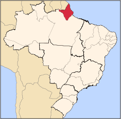 | |
| Macapá | ||
| Mazagão | ||
| Oiapoque | ||