Saurimo
Coordinates: 9°39′S 20°24′E / 9.650°S 20.400°E
| Saurimo | |
|---|---|
| Municipality and town | |
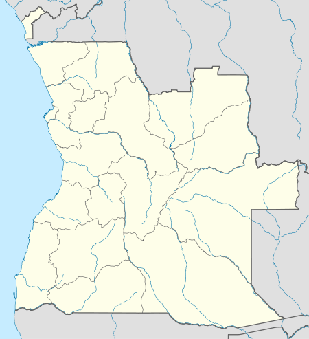 Saurimo Location in Angola | |
| Coordinates: 9°39′S 20°24′E / 9.650°S 20.400°E | |
| Country |
|
| Province | Lunda Sul Province |
| Founded | 1956 |
| Elevation | 1,081 m (3,547 ft) |
| Population (2010) | |
| • Total | 80,445 |
| Time zone | WAT (UTC+1) |
| Climate | Aw |
Saurimo (pre-1975: Henrique de Carvalho) is the capital of the Lunda Sul province of Angola, Saurimo has a population of approximately 200,000. The population has increased due to migrants fleeing areas affected by the civil war.
Overview
Formerly the town was known as Henrique De Carvalho, after the Portuguese explorer, Henrique de Carvalho, who visited the region in 1884 and contacted the local (historically powerful) Lunda people. It is located in northeastern Angola at an elevation of 3,557 feet (1,081 m) above sea level. It is a garrison town and local market centre.
The main economic activities nowadays are agriculture and diamonds. The main foodstuffs are mandioc, corn, sweet potato and yam. Other activities are handicraft, fishing, and diamond panning.