Quilengues
| Quilengues | |
|---|---|
| Municipality and town | |
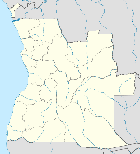 Quilengues Location in Angola | |
| Coordinates: 14°04′53″S 14°05′35″E / 14.08139°S 14.09306°ECoordinates: 14°04′53″S 14°05′35″E / 14.08139°S 14.09306°E | |
| Country |
|
| Province | Huíla |
| Time zone | WAT (UTC+1) |
| Climate | Aw |
Quilengues, also Kilenjes, is a town and municipality in Huíla Province in Angola.[1][2]
It has about 114,000 inhabitants.[3] Quilengues sits on the western edge of the Central Highlands, and is bordered to the north by the municipality of Chongoroi, the east by the municipality of Caluquembe, the south by the cities of Lubango and Cacula, and to the west by the municipalities of Bibala and Camucuio.[2] The main activities are agriculture, trade and livestock.[4][5]
Quilengues was colonized by the Portuguese from 1770. It served as a gateway for the slave trade, and expanded the trade to the southeast of Angola on to the Kunene River. Quilengues became a municipality on July 1, 1870.[2]
References
- ↑ "Reference Center: Provinces". Angolan Embassy in the United States. Archived from the original on 11 Feb 2006.
- 1 2 3 Broadhead, Susan (1992). Historical dictionary of Angola. Metuchen, N.J: Scarecrow Press. p. 10. ISBN 0585070091.
- ↑ Angola Statistics: Huíla. GeoHive. Source: Instituto Nacional de Estatística, Angola. Instituto Nacional de Segurança Social, Angola.
- ↑ "Huíla: Municípios". Info-Angola. Retrieved 27 Feb 2010.
- ↑ "City councils of Angola". Statoids. Retrieved April 9, 2009.
Capital: Lubango | |
| Lubango |
|
| Caconda |
|
| Cacula |
|
| Caluquembe |
|
| Chibia |
|
| Chicomba |
|
| Chipindo |
|
| Cuvango |
|
| Gambos |
|
| Humpata |
|
| Jamba | |
| Matala |
|
| Quilengues |
|
| Quipungo |
|
This article is issued from Wikipedia - version of the 9/12/2016. The text is available under the Creative Commons Attribution/Share Alike but additional terms may apply for the media files.